
What is recorded here
Situated on a gentle SE-facing slope in rolling, well-drained pasture, overlooking the new N20 to the E. The monument is partially obscured by scrub vegetation. Sub-oval concentration of stones (4.5m E-W; 3.2m N-S; H 0.4 - 0.8m) in a gentle sub oval depression (c. 9.1m NE-SW; 7.8m NW-SE; D 0.1m). A concentration of smaller stones (c. 0.2 x 0.3 x 0.2m) forms a base with three larger rocks (c. 0.4 x 0.4 x 0.7) roughly placed on top, interspersed with smaller stones. The stones are sub-angular limestone blocks with the larger rocks being heavily fissured. Some marks on them may have been made by the toothed bucket of an excavator. They are partially covered with a recent growth of ivy, and to the S the site is becoming obscured by brambles. The hawthorns which ring the concentration of stones are mature. There are some rounded field stones scattered in the depression. The concentration is covered with a layer of hay to the E. Probably a clearance cairn, associated with land reclamation.
A local ancient tomb; wider significance not recorded.
The monument record does not grant public access. Check the route and ask the landowner before entering private land.
- What survives
- Recorded monument
Places near here
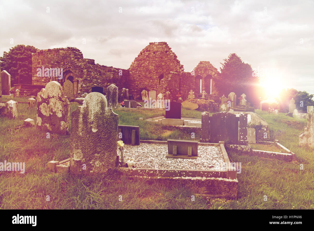 Grave YardGraveyard · 529 yd
 St. Dominicks Church (in ruins)Church · 542 yd
 Man-made underground passage in RossbrienMan-made underground passage · 608 yd
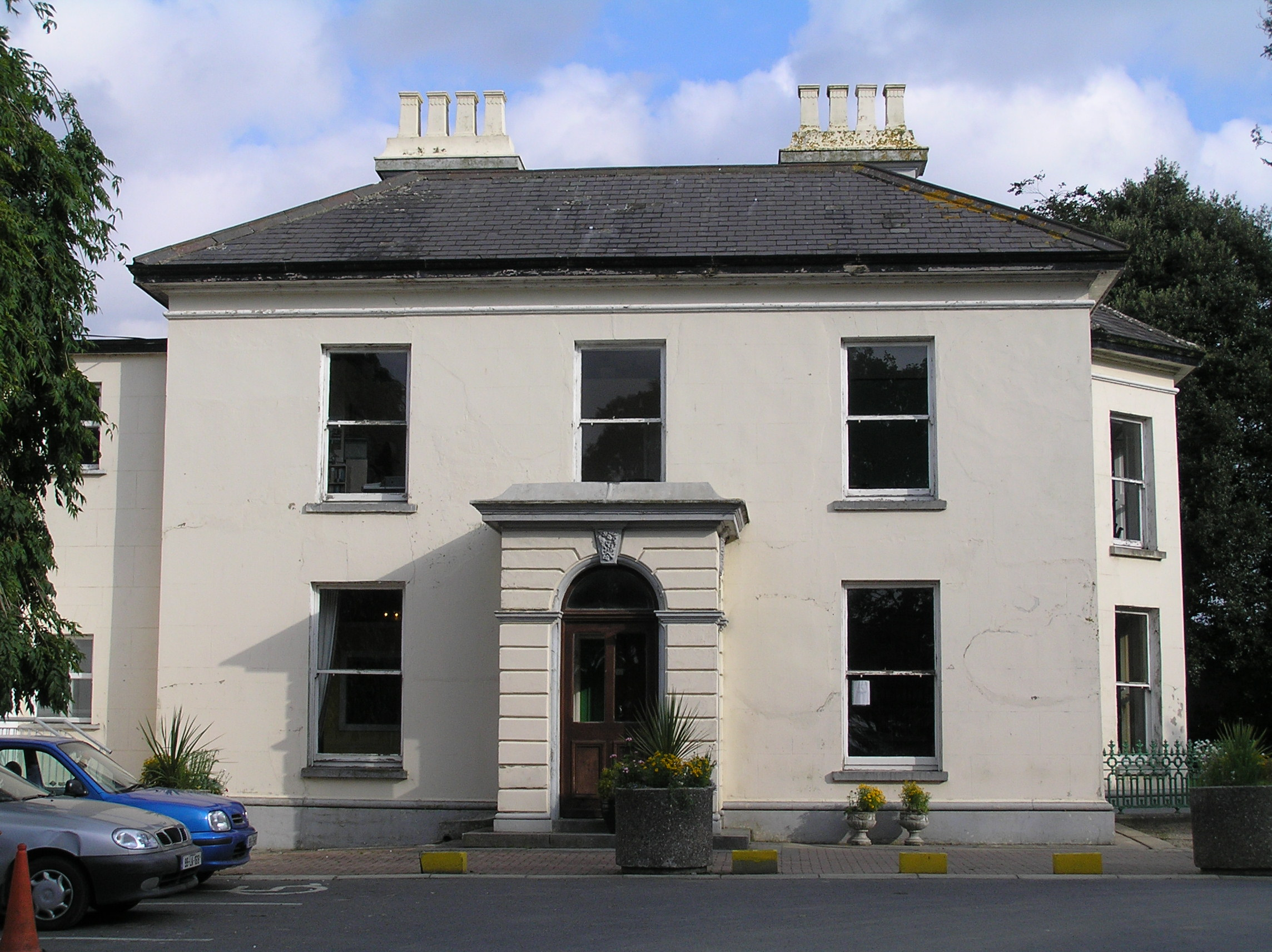 Southill Househouse · 1035 yd
 Castle (in ruins)Castle, tower house · 1.0 mi
 CastleCastle, ringwork · 1.1 mi
 Limerick Seamen's MemorialMemorial · 1.6 mi
 Saint John Paul IIMemorial · 1.7 mi
 Fountain SculptureHeritage attraction · 3.2 mi
 Visitor CentreVisitor information · 3.2 mi
 Campus MapVisitor information · 3.3 mi
 Seán Keating GalleryGallery · 4.7 mi
Other information
Photo: Credit not shown in the picture search · Rights wording not checked; contact us if this picture should be removed