What is recorded here
Located on top of the E end of a WNW-ESE ridge. The parch-marks of a relict and unmapped field systems is visible only on Apple Maps, which utilises a survey conducted by Blue Sky International during June 2018. It is visible as lines of cropmark drains aligned NNW-SSE covering an area of about 2 hectares (c. 5 acres). At one point there is a subrectangular enclosure (dims c. 48m x c. 45m) attached to one of these long drains together with a more subcircular enclosure (dims c. 40m x c. 40m). It was first reported by Anthony Murphy.
See the attached enhanced view from Apple Maps
Compiled by: Michael Moore
Date of upload: 24 January 2020
The monument record does not grant public access. Check the route and ask the landowner before entering private land.
- What survives
- Recorded monument
Places near here
 Enclosure in SheepgrangeEnclosure · 731 yd
 Passage tomb in TownleyhallPassage tomb · 1015 yd
 School WoodForest · 1174 yd
 Townley Hallcountry house · 1279 yd
 mill (water)mill (water) · 1323 yd
 Quarry Garden WoodForest · 1406 yd
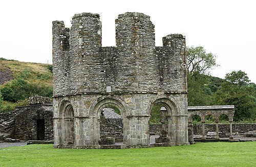 Mellifont AbbeyHeritage attraction · 1.1 mi
 Proudfootstown CastleCastle, unclassified · 1.4 mi
 Battle of the BoyneMajor battlefield · 1.6 mi
 Battle of the Boyne Visitor CentreMuseum · 1.6 mi
 Dowth CastleCastle, tower house · 1.7 mi
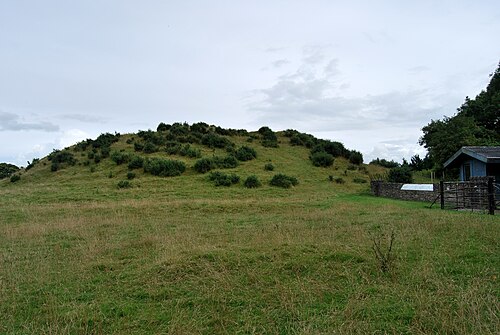 DowthNeolithic passage tomb · 1.7 mi