What is recorded here
Fairy forts are not fairy forts. They are human ringforts, misnamed through folklore. This is one of them: a circular enclosure on a south-facing slope in Sheepgrange, County Louth, its boundary marked by a single fosse rather than a solid wall. The earth has largely taken it back, leaving only a faint shadow in the soil that satellites can still read. Whoever lived there stopped building, stopped digging, stopped being remembered. The circle remained because circles resist forgetting.
Situated on a S-facing slope. The cropmark of a circular enclosure (ext. diam. c. 34m) defined by a single fosse feature is visible on Bing aerial images (c. 2013). It was first identified by Tom Condit, and is also visible as a faint feature on Google images (12/07/2013, 21/04/2019).
See the attached enhanced view from Google Earth (21/06/2019)
Compiled by: Michael Moore
Date of upload: 19 May, 2017
The monument record does not grant public access. Check the route and ask the landowner before entering private land.
- What survives
- Recorded monument
Places near here
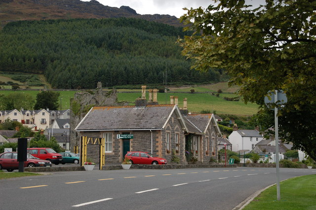 Not inidicatedEnclosure · 485 yd
 mill (water)mill (water) · 568 yd
 Font (present location) in MonknewtownFont (present location) · 608 yd
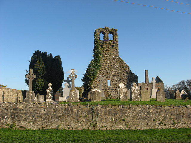 Church (in Ruins)Church · 612 yd
 School WoodForest · 1.1 mi
 Quarry Garden WoodForest · 1.2 mi
 Proudfootstown CastleCastle, unclassified · 1.3 mi
 Dowth CastleCastle, tower house · 1.3 mi
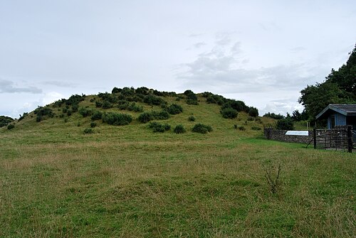 DowthNeolithic passage tomb · 1.3 mi
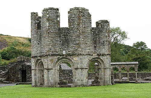 Mellifont AbbeyHeritage attraction · 1.5 mi
 Battle of the BoyneMajor battlefield · 1.6 mi
 Battle of the Boyne Visitor CentreMuseum · 1.6 mi