
Places near here
Photo credits
- National Inventory of Architectural Heritage
- Mike Searle, Wikimedia Commons · CC BY-SA 2.0
- Chris Allen, Geograph · CC BY-SA 2.0
- Benutzer:StefanServos, Wikimedia Commons · CC BY-SA 3.0
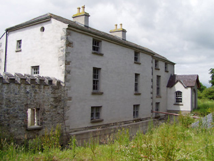 Mill HouseMill (water) · 897 yd
Explorer Tom Mill House in Garranlea plans to retire by turning into a very expensive coffee shop and complaining about the noise.…
 Hymenstown HouseHouse · 948 yd
Explorer Tom Hymenstown House is set in a mature landscape with limestone steps that look like they were carved by angels. It’s got…
 HymenstownHouse · 1091 yd
Explorer Tom Hymenstown is all about symmetry and limestone carving because someone really liked their facades to be perfect. The…
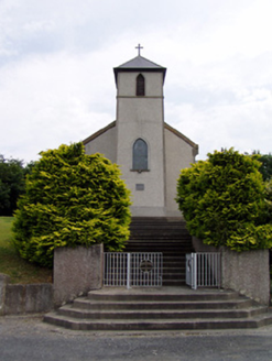 Saint Bartholomew's Catholic ChurchChurch/chapel · 1.2 mi
Explorer Tom Saint Bartholomew's Church in Knockgraffon stands on a hill, which confused a group of Vikings completely. They thought…
 Knockgraffon CastleCastle · 1.7 mi
Explorer Tom Knockgraffon Castle in County Tipperary has circular bartizans that look like they’re watching you with suspicion…
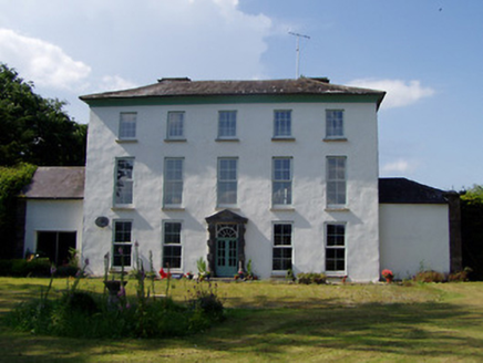 Kilmoyler HouseCountry house · 2.3 mi
Explorer Tom Kilmoyler House is showing off its diminishing windows like it’s trying to look tall on a date. It’s got sandstone…
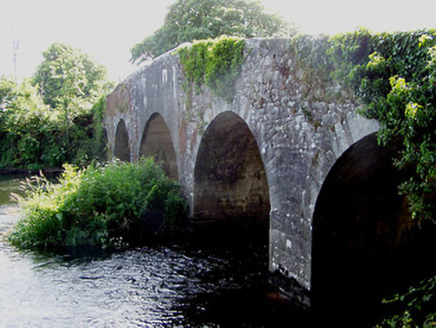 Killardry BridgeBridge · 2.4 mi
Explorer Tom Killardry Bridge in Kilmoyler has a local who claims he invented the humpback design, which is either genius or pure…
 Outrath LodgeRectory/glebe/vicarage/curate's house · 2.7 mi
Explorer Tom Outrath Lodge has a bird that refuses to leave the chimney, probably because it thinks it’s got a permanent job there.…
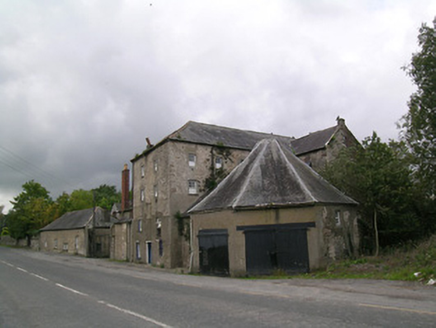 Suir MillsMill (water) · 4.0 mi
Explorer Tom Suir Mills in Barnora would win a county fair by simply existing and looking impressive. The octagonal building is…
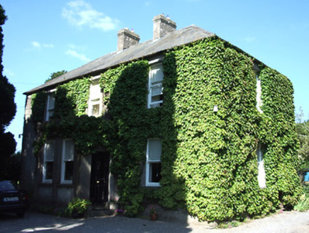 Barnora HouseHouse · 4.1 mi
Explorer Tom Barnora House would order a chipper loaded with everything if it could walk into a shop on its own. The symmetrical…
 Cahir MillsMill (water) · 4.6 mi
Explorer Tom Cahir Mills is sitting on an island in the Suir, acting like it has an imaginary twin across the sea that nobody…
 Cahir CastleCastle · 4.6 mi
Explorer Tom Cahir Castle's first owner planned to escape via a moat that was mostly just wet mud. It’s the ultimate 'I meant to do…
More archaeology and monuments in County Tipperary · All of County Tipperary

What do you know about this place?Tap to add a comment or ask a question