What is recorded here
Situated on a slight N-facing slope. Earthwork features are visible on vertical aerial photographs (GSIAP: N 88, 89) from the 1970s covering an area of about 8 ha (c. 30 acres) and the relict features are grass-covered. A pond is at the central S edge of a system of grass-covered drains (Wth c. 1-2m; D 0.2-0.3m) creating a confused system of plots, some with cultivation ridges. Away from the pond and a S-N stream from it there are wider hollow ways (Wth 3-5m; D 0.5-1m) and longer curving scarps (H c. 1m) which would have extended outside the present field but they do not survive there. There are some platforms (dims 9m x 6m; H 0.1m) but none could be interpreted as house sites, and some sunken features (dims 11m x 5m) like ponds.
The above description is derived from the published 'Archaeological Inventory of County Meath' (Dublin: Stationery Office, 1987). In certain instances the entries have been revised and updated in the light of recent research.
Compiled by: Michael Moore
Date of upload: 10 July 2007
Amended: 13 April, 2022
The monument record does not grant public access. Check the route and ask the landowner before entering private land.
- What survives
- Recorded monument
Places near here
 IndicatedEnclosure, large enclosure · 922 yd
 Enclosure in TrevetEnclosure · 1.0 mi
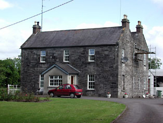 Oberstown Housefarm house · 1.6 mi
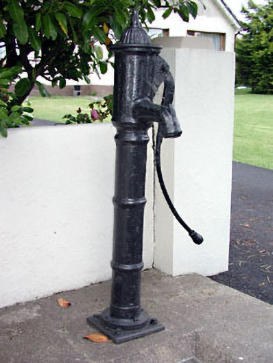 water pumpwater pump · 1.7 mi
 Clusker Wood SouthWood · 2.0 mi
 CastleCastle, motte · 2.0 mi
 Skreen CastleCastle, tower house · 2.0 mi
 The Pond WoodWood · 2.1 mi
 Candle HillMountain / peak · 2.1 mi
 Battle of Tara Hillbattle · 3.3 mi
 Battle of Tara (Ireland)Major battlefield · 3.3 mi
 Tara Open StudioGallery · 3.3 mi