
What is recorded here
Situated on a S-facing slope. The parish church (ME032-017----) is c. 400m to the NE. The village of Monketon with 162 acres of demesne and a ‘capital mansion’ was owned by St. Mary’s Cistercian abbey (DU018-020048-) and leased to a Lady Eleanor Plunkett at the Suppression in 1540 (White 1943, 17). According to the Civil Survey (1654-6) Edward Dowdall owned 295 acres at Mountowne or Mounketowne in Skreen barony in 1640, and the property included ‘one castle, one water mill and one church’ (Simington 1940, 57). Only the N wall of a four-storey tower house survives with good quoins. It had projecting towers at the NE and SW angles originally; the latter probably containing the stairs but only the former survives. The main chamber has a N-S barrel-vault (int. dims 4.6m E-W; 4m plus N-S) over the ground floor with large windows at the first and second floors and a smaller one at the third in the N wall. A tower projects E from the E end of the N wall. The ground floor (int. dims 2.5m E-W; 1.9m N-S) was vaulted but it is now destroyed, and it had lights in the E and S wall. This tower was entered through a lintelled doorway at every level and at the second and third storeys the floors were wooden. The roof of the third storey is corbelled to support a chamber at the parapet, but the parapet doesn’t survive. Some sandstone windows in the NE tower are probably reused. A raised rectangular earthwork (dims c. 10m E-W; c. 5m plus N-s) to the NW of tower house may indicate out-buildings of possible bawn (dims c. 50m N-S; c. 40m E-W) indicated by scarps.
Situated on a S-facing slope. The parish church (ME032-017----) is c. 400m to the NE. The village of Monketon with 162 acres of demesne and a ‘capital mansion’ was owned by St. Mary’s Cistercian abbey (DU018-020048-) and leased to a Lady Eleanor Plunkett at the Suppression in 1540 (White 1943, 17). According to the Civil Survey (1654-6) Edward Dowdall owned 295 acres at Mountowne or Mounketowne in Skreen barony…
From the National Monuments Service (Archaeological Survey of Ireland) record ME032-019
This remains an important historical record, but the official description says the monument is no longer visible or has been destroyed. The monument record does not grant public access. Check the route and ask the landowner before entering private land.
- What survives
- No visible remains or recorded as destroyed
Places near here
Photo credits
- Willow, Wikimedia Commons · CC BY 2.5
- National Inventory of Architectural Heritage
- Kieran Campbell, Geograph · CC BY-SA 2.0
- C O'Flanagan, Wikimedia Commons · CC BY-SA 2.0
- Garry Dickinson, Geograph · CC BY-SA 2.0
- Malene Thyssen, Wikimedia Commons · CC BY-SA 3.0
- Kieran Campbell, Wikimedia Commons · CC BY-SA 2.0
- Patrick Brown, Wikimedia Commons · CC BY-SA 2.0
- Anthony Foster, Geograph · CC BY-SA 2.0
- Neil Forrester, Co.Meath, Ireland. http://neil.forrester.ie, Wikimedia Commons · CC BY 3.0
- William Murphy, Wikimedia Commons · CC BY 2.0
 European ash1.2 mi
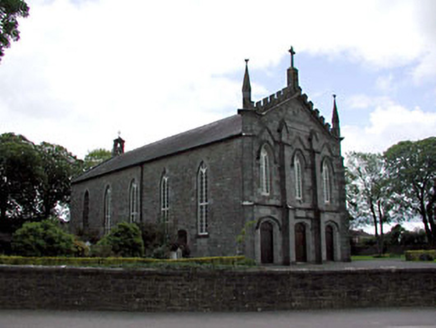 Catholic Church of the AssumptionChurch/chapel · 1.4 mi
 RuinChurch · 1.6 mi
 Fairy fort / earthen ringfort in DanestownFairy fort / earthen ringfort · 1.6 mi
 Skreen CastleCastle, tower house · 2.2 mi
 European Beech2.3 mi
 CrossCross, Wayside cross · 3.0 mi
 Hill of TaraVisitor information · 3.1 mi
 Saint Patrick'sMemorial · 3.1 mi
 Battle of Tara HillBattle · 3.3 mi
 Battle of Tara (Ireland)Major battlefield · 3.3 mi
 Athcarne CastleCastle, tower house · 4.8 mi
More castles and forts in County Meath · All of County Meath
What do you know about this place?