What is recorded here
Situated at the N edge of a plateau and at the crest of a NE-facing slope. An estate map of 1826 (16 F 19 (2)) in the National Library of Ireland depicts a small embanked enclosure at this location, but it does not appear on any other map. No archaeological feature is visible at ground level.
The above description is derived from the published 'Archaeological Inventory of County Meath' (Dublin: Stationery Office, 1987). In certain instances the entries have been revised and updated in the light of recent research.
Compiled by: Michael Moore
Date of upload: 10 July 2007
Amended: 13 April, 2022
The monument record does not grant public access. Check the route and ask the landowner before entering private land.
- What survives
- Recorded monument
Places near here
 CrossCross, Wayside cross (present location) · 1007 yd
 Font in Collierstown (skreen By.)Font · 1040 yd
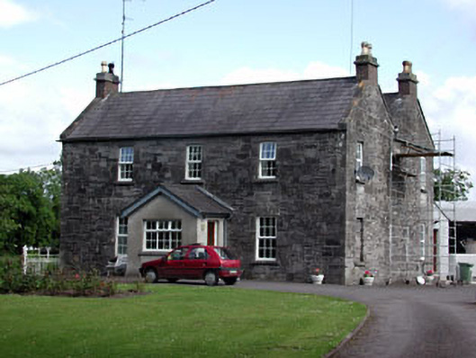 Oberstown Housefarm house · 1335 yd
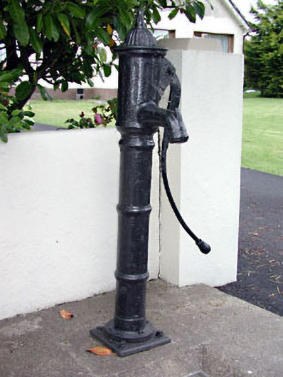 water pumpwater pump · 1376 yd
 CastleCastle, motte · 1.1 mi
 Skreen CastleCastle, tower house · 1.1 mi
 Candle HillMountain / peak · 1.3 mi
 The Pond WoodWood · 1.8 mi
 Clusker Wood NorthWood · 1.9 mi
 Tara Open StudioGallery · 2.6 mi
 Battle of Tara Hillbattle · 2.7 mi
 Battle of Tara (Ireland)Major battlefield · 2.7 mi