What is recorded here
Situated on a low NW-SE drumlin ridge. The cropmark of a subcircular enclosure (dimd c. 58m NW-SE; c. 50m NE-SW) defined by a single fosse (Wth c. 2-4m) NW-E-SE is visible on Digital Globe (c. 2013). The defining fosse is less clearly visible in grass SE-SW-NW, and the enclosure is cut by a NW-SE field bank. It is also visible on OSI images (1995) and on Google Earth (12/07/2013, 13/08/2015), and it was first reported by Ken Williams.
See the attached enhanced image from Digital Globe
Compiled by: Michael Moore
Date of upload: 24 June 2021
The monument record does not grant public access. Check the route and ask the landowner before entering private land.
- What survives
- Recorded monument
Places near here
 mill (water)mill (water) · 150 yd
 CastleCastle, motte and bailey · 321 yd
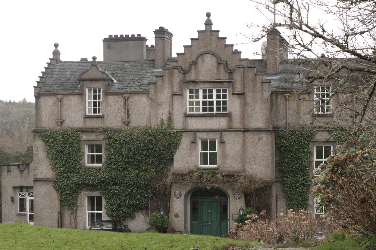 Enclosure in TullygowanEnclosure · 831 yd
 R. C. ChapelChurch · 1405 yd
 Man-made underground passage in CorradoranMan-made underground passage · 1.0 mi
 Flat cemetery in AnnaheanFlat cemetery · 2.2 mi
 RathneestinCastle, tower house · 3.4 mi
 Monkey-puzzleMonkey-puzzle · 4.2 mi
:no_upscale()/cdn.vox-cdn.com/uploads/chorus_asset/file/25593391/County_Louth_6th.jpg) LouthMountain / peak · 4.2 mi
LouthMountain / peak · 4.2 mi European BeechEuropean Beech · 4.2 mi
 TobernagalliaghSpring · 6.1 mi
 Ballsmill Amenity LandPicnic place · 9.6 mi