
What is recorded here
Ruinous freestanding four-bay Church of Ireland church, built c.1850, having bellcote to west gable, and gabled entrance porch to south elevation. Roofless, with evidence of pitched roofs, cut-stone copings. Gabled cut-stone bellcote, having chamfered pointed-arch opening. Snecked limestone walls with ashlar limestone quoins and kneelered gables. Bipartite lancet window openings with chamfered ashlar reveals to north and south elevations, tripartite lancet window openings with chamfered ashlar reveals to west gable, having some remaining quarry-glazed leaded windows. Pointed-arch door opening to porch, having ashlar reveals, chamfered to arch. Standing on elevated site having rubble stone boundary retaining wall. Site entrance to south-east of site, with cast-iron gate flanked by rubble stone piers, approached by flight of five dressed limestone steps.
This nineteenth-century Church of Ireland church was built on the site of an earlier church. Although in a ruinous condition the structure retains its essential character and fabric. It was well built using well dressed limestone and has extensive cut-stone detailing throughout, indicating skilled craftsmanship and design. Its elevated siting and bell-cote give this building a striking silhouette and a strong presence in the rural landscape. The surrounding boundary wall and gateway contribute to the church's setting and have been recently repaired.
From the Buildings of Ireland (National Inventory of Architectural Heritage) record 41403139
This does not grant access. Most recorded buildings are privately owned; view them only from public ground unless the owner allows entry.
Places near here
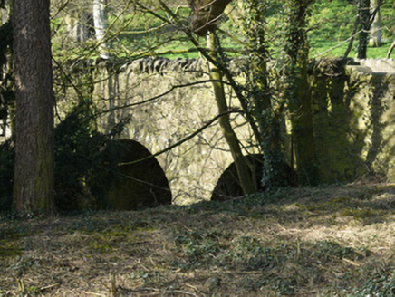 bridge57 yd
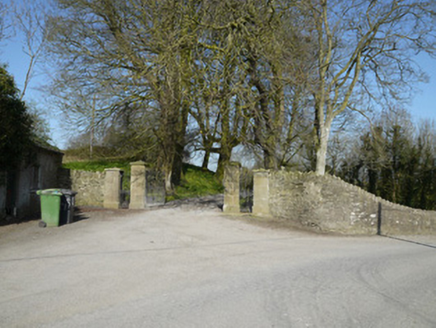 Ballymackney HouseGates/railings/walls · 94 yd
 Monkey-puzzle3.0 mi
 European Beech3.1 mi
 Mannan Castle (in ruins)Castle, Anglo-Norman masonry castle · 3.7 mi
 Round Tower4.6 mi
 IndicatedGraveyard · 7.6 mi
 CastleCastle, tower house · 8.8 mi
 Graveyard in StickillinGraveyard · 9.7 mi
 Ballsmill Amenity LandPicnic place · 9.8 mi
 Irish Hunger StrikersMemorial · 11 mi
 Mass Rock Loop TrailWalking route · 12 mi
Pictures: National Inventory of Architectural Heritage; Vicente Fernández Rioja, Wikimedia Commons · CC BY-SA 4.0; Malene Thyssen, Wikimedia Commons · CC BY-SA 3.0; Kieran Campbell, Geograph · CC BY-SA 2.0; Cathar11, Wikimedia Commons · CC0; Kieran Campbell, Geograph · Creative Commons Attribution-ShareAlike 2.0; Nuala Furley, Wikimedia Commons · CC BY-SA 4.0; Eric Jones, Geograph · CC BY-SA 2.0
More historic places in County Monaghan · All of County Monaghan
What do you know about this place?