
What is recorded here
The round tower at Inishkeen was described (Reade 1855, 376-7) as having a circumference of ‘51 feet (ext. diam. c. 4.85m) and survives to a height of 42 feet (c. 12.8m)’. The rebuilt lintelled doorway is 4.1m off the ground and faces SE. Debris in the interior was cleared to 0.75m below ground level in 1973 (Barrow 1979, 172-3). The tower had three internal floors according to Reade, but only two levels of internal corbels survive (ibid.). 208
See the attached views _1 from E; _2 from SE
Date of revosed upload: 1 December 2016
The round tower at Inishkeen was described (Reade 1855, 376-7) as having a circumference of ‘51 feet (ext. diam. c. 4.85m) and survives to a height of 42 feet (c. 12.8m)’. The rebuilt lintelled doorway is 4.1m off the ground and faces SE. Debris in the interior was cleared to 0.75m below ground level in 1973 (Barrow 1979, 172-3). The tower had three internal floors according to Reade, but only two levels of…
From the National Monuments Service (Archaeological Survey of Ireland) record MO029-031002
The monument record does not grant public access. Check the route and ask the landowner before entering private land.
- What survives
- Recorded monument
Places near here
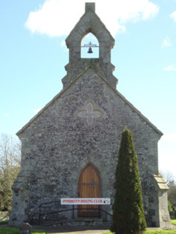 Inishkeen ChurchChurch/chapel · 25 yd
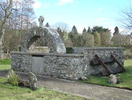 Inishkeen ChurchMonument · 27 yd
 Promontory fortPromontory fort, inland · 4.1 mi
 Rath in DrummuckRath · 4.5 mi
 Roche CastleCastle, Anglo-Norman masonry castle · 4.7 mi
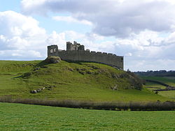 Roche CastleCastle · 4.7 mi
 Ballsmill Amenity LandPicnic place · 5.3 mi
 Dundalk CentralHeritage attraction · 6.7 mi
 Irish Hunger StrikersMemorial · 6.8 mi
 Maid of ErinMemorial · 7.2 mi
 Mass Rock Loop TrailWalking route · 7.2 mi
 CroslieveMountain / peak · 7.2 mi
Pictures: National Inventory of Architectural Heritage; Eric Jones, Geograph · CC BY-SA 2.0; Eric Jones, Geograph · Creative Commons Attribution-ShareAlike 2.0; Hazazzy, Wikimedia Commons · CC BY-SA 3.0
More archaeology and monuments in County Monaghan · All of County Monaghan
What do you know about this place?