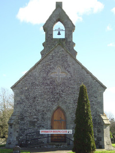
What is recorded here
Freestanding gable-fronted four-bay single-cell Church of Ireland church, built c.1820. Now in use as boxing club. Single-span replacement slate roof of 2003. Ashlar granite bellcote with pointed-arch opening to gable-front. Granite copings to gable, having carved granite brackets at junction with eaves at gable ends. Replacement uPVC rainwater goods, supported by carved granite brackets. Rubble limestone walls with stepped granite-capped buttresses to corners and single buttress to west end long elevations. Lancet windows to long sides, with chamfered granite surrounds and rubble voussoirs. Lower lancet window to west end of north and south sides, surmounted by quatrefoil window. Tripartite lancet window to east gable, diminishing in size from central opening. Pointed quatrefoil window to gable-front over doorway. Pointed-arch doorway having chamfered granite voussoirs and quoins, battened timber single-leaf door with decorative wrought-iron strap hinges. Granite steps to entrance with modern concrete ramp. Located within rubble-walled graveyard to south of river.
Situated on an island site between two branches of the River Fane, this graveyard also contains a seventeenth-century stone vault and the remnants of a round tower of about 1100. This well-maintained small church may have been built at the same time as the nearby glebe house in 1821. It was deconsecrated and used as a folk museum, and is currently in use as a boxing club. As such it continues to maintain a social significance in the Inishkeen area. The cut-stone construction displays high-quality craftsmanship, and this simple but elegant nineteenth-century building contributes to the continued historic significance of this ancient monastic site.
This does not grant access. Most recorded buildings are privately owned; view them only from public ground unless the owner allows entry.
Places near here
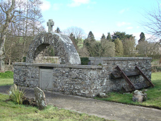 Inishkeen Churchmonument · 18 yd
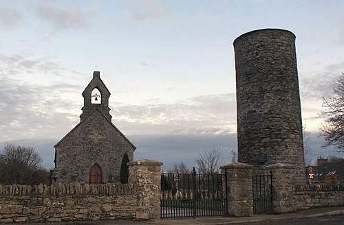 Round TowerRound tower · 25 yd
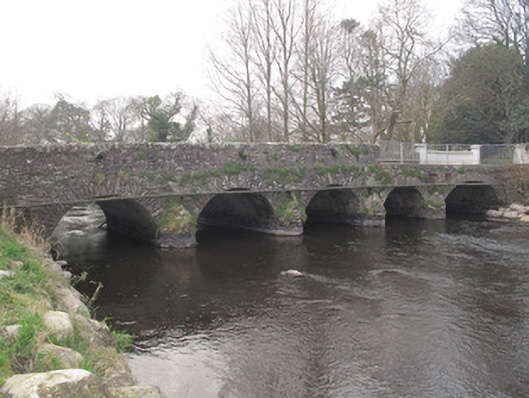 Inishkeen Bridgebridge · 85 yd
 Man-made underground passage in CandlefortMan-made underground passage · 238 yd
 IndicatedCastle, motte and bailey · 241 yd
 CastleCastle, motte and bailey · 2.7 mi
:no_upscale()/cdn.vox-cdn.com/uploads/chorus_asset/file/25593391/County_Louth_6th.jpg) LouthMountain / peak · 4.3 mi
LouthMountain / peak · 4.3 mi Ballsmill Amenity LandPicnic place · 5.3 mi
 Sky HillMountain / peak · 5.4 mi
 Photo GalleryHeritage attraction · 6.7 mi
 Dundalk CentralHeritage attraction · 6.7 mi
 Irish Hunger StrikersMemorial · 6.7 mi
Other information
Photo: National Inventory of Architectural Heritage · Website use allowed for educational or private purposes with source credit