What is recorded here
Located on a shelf towards the bottom of a N-facing slope and c. 300m N of a W-E section of the River Fane. It is also c. 200m S of the site of St Daigh’s early monastery (MO029-031001-). This is a flat-topped conical mound (diam. of top 13.6m E-W; 11m N-S; H c. 8m). The base is surrounded by a flat-bottomed fosse (at SW: Wth of top c. 3m; D c. 0.5m) SE-W-NE and an outer earth and stone bank. There is a small enclosure (diam. 7.8m E-W) defined by a broad earthen bank (at W: Wth of base 2.2m; int. H 0.5m) with an entrance at E (Wth 1.5m) on top towards the W edge of the summit. The bailey is a circular grass-covered area (diam. 35.6m E-W; 33.5m N-S) just to the E defined by a scarp (at NE: Wth 5.5m; H 2m) that merges into the slope E-S-W. The motte is planted in mature beech with alder and ash. There is reputed to be a Man-made underground passage (MO029-032001-) in the base of the mound. Archaeological testing (08E0358) c. 140m to the E produced no related material. (Clarke 2011)
The above description is derived from the published 'Archaeological Inventory of County Monaghan' (Dublin: Stationery Office, 1986).
Located on a shelf towards the bottom of a N-facing slope and c. 300m N of a W-E section of the River Fane. It is also c. 200m S of the site of St Daigh’s early monastery (MO029-031001-). This is a flat-topped conical mound (diam. of top 13.6m E-W; 11m N-S; H c. 8m). The base is surrounded by a flat-bottomed fosse (at SW: Wth of top c. 3m; D c. 0.5m) SE-W-NE and an outer earth and stone bank. There is a small…
From the National Monuments Service (Archaeological Survey of Ireland) record MO029-033001
The monument record does not grant public access. Check the route and ask the landowner before entering private land.
- What survives
- Recorded monument
Places near here
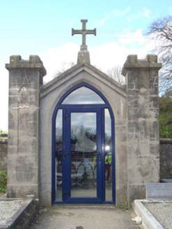 shrine/oratory/grotto53 yd
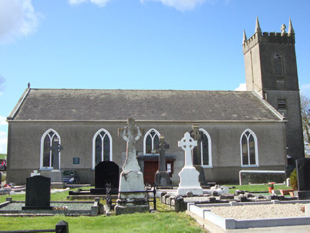 Patrick Kavanagh CentreChurch/chapel · 102 yd
 Round Tower238 yd
 Promontory fortPromontory fort, inland · 4.1 mi
 Roche CastleCastle, Anglo-Norman masonry castle · 4.8 mi
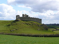 Roche CastleCastle · 4.8 mi
 Ballsmill Amenity LandPicnic place · 5.4 mi
 Dundalk CentralHeritage attraction · 6.7 mi
 Irish Hunger StrikersMemorial · 6.9 mi
 Maid of ErinMemorial · 7.2 mi
 Mass Rock Loop TrailWalking route · 7.3 mi
 CroslieveMountain / peak · 7.3 mi
Pictures: National Inventory of Architectural Heritage; Cathar11, Wikimedia Commons · CC0; Eric Jones, Geograph · CC BY-SA 2.0; Hazazzy, Wikimedia Commons · CC BY-SA 3.0
More castles and forts in County Monaghan · All of County Monaghan
What do you know about this place?