What is recorded here
Situated on a low ridge of possible rock outcrop close to the E bank of the River Fane, and consisting of a steep-sided, almost circular mound (max. H c. 6m, max. diam. at base 31m, at top c. 11m) with a crescent-shaped bailey at the W defined by an escarpment. There is a wide shallow fosse (Wth 7.5m, D 0.3m) between the mound and the bailey (max. Wth 10.5m, max. L 38m, H c. 5m). There is no evidence of a fosse surrounding either the motte or the bailey. Wright (1758, bk I, pl. XIII) shows a hexagonal feature (LH006-076002-) encompassing the summit of the mound. A basal course of stone can still be seen at the ENE side and a slight narrow bank at the SW. (Wright 1758, bk I ,pl. XIII,; Orpen 1908, 252; Quinn 1911, 429-30).
Situated on a low ridge of possible rock outcrop close to the E bank of the River Fane, and consisting of a steep-sided, almost circular mound (max. H c. 6m, max. diam. at base 31m, at top c. 11m) with a crescent-shaped bailey at the W defined by an escarpment. There is a wide shallow fosse (Wth 7.5m, D 0.3m) between the mound and the bailey (max. Wth 10.5m, max. L 38m, H c. 5m). There is no evidence of a fosse…
From the National Monuments Service (Archaeological Survey of Ireland) record LH006-076001
The monument record does not grant public access. Check the route and ask the landowner before entering private land.
- What survives
- Recorded monument
Places near here
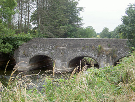 Castlering BridgeBridge · 417 yd
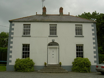 Hollow HouseHouse · 775 yd
 Round Tower2.7 mi
 CloghafarmoreStanding stone · 2.7 mi
 Bawn in DarverBawn · 4.3 mi
 Dunmahon CastleCastle · 4.7 mi
 Dundalk CentralHeritage attraction · 5.2 mi
 Maid of ErinMemorial · 5.6 mi
 Louth County MuseumMuseum · 5.8 mi
 Ballsmill Amenity LandPicnic place · 6.2 mi
 Battle of FaughartMajor battlefield · 7.6 mi
 Soldiers' PointHeadland · 7.8 mi
Pictures: National Inventory of Architectural Heritage; Cathar11, Wikimedia Commons · CC0; Kieran Campbell, Geograph · CC BY-SA 2.0; Garry Dickinson, Geograph · CC BY-SA 2.0; Mike Searle, Geograph · CC BY-SA 2.0; Eric Jones, Geograph · CC BY-SA 2.0; GilPe, Wikimedia Commons · CC BY-SA 4.0; TommyMurf, Wikimedia Commons · CC BY-SA 4.0
More castles and forts in County Louth · All of County Louth
What do you know about this place?