What is recorded here
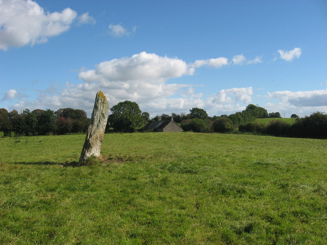
Situated on a slight rise in a gently undulating countryside. The stone (dims of base 1m x 0.4m; H 2.9m) is orientated E-W and leaning slightly to the S. The monument is known as 'Cloch an Fhir Mhóir' – the stone of the big man - and is traditionally associated with the death of Cúchulainn (Gogan 1953). Gosling (2018) points out that there was a possible stone circle (LH011-020001-) c. 40m to the SE and that the stone is c. 70m W of a meandering roadway which is probably older than the mid-eighteenth century that can be traced through maps at least 600m to the N and at least 1.2km to the SW. This is a National Monument in state guardianship: No. 474
See the attaché view from N
The above description is derived from both the published 'Archaeological Inventory of County Louth' (Dublin: Stationery Office, 1986) and the 'Archaeological Survey of County Louth' (Dublin: Stationery Office, 1991).
Situated on a slight rise in a gently undulating countryside. The stone (dims of base 1m x 0.4m; H 2.9m) is orientated E-W and leaning slightly to the S. The monument is known as 'Cloch an Fhir Mhóir' – the stone of the big man - and is traditionally associated with the death of Cúchulainn (Gogan 1953). Gosling (2018) points out that there was a possible stone circle (LH011-020001-) c. 40m to the SE and that the…
From the National Monuments Service (Archaeological Survey of Ireland) record LH011-020
The monument record does not grant public access. Check the route and ask the landowner before entering private land.
- What survives
- Recorded monument
Places near here
 ClochafarmoreArchaeological place · 1 yd
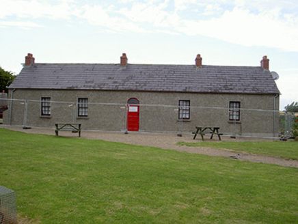 Agnes Burns CottageHouse · 1223 yd
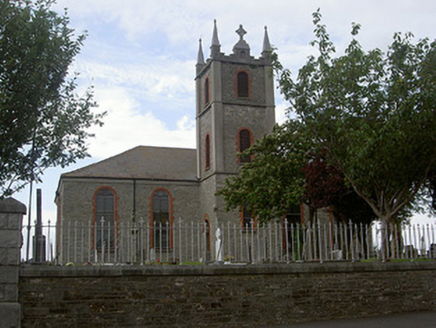 Saint Mary's Catholic ChurchChurch/chapel · 1347 yd
 Dunmahon CastleCastle · 2.1 mi
 Dunmahon CastleCastle, tower house · 2.1 mi
 Dundalk CentralHeritage attraction · 2.9 mi
 Maid of ErinMemorial · 3.3 mi
 Kellys MonumentMonument · 3.4 mi
 Louth County MuseumMuseum · 3.5 mi
 Soldiers' PointHeadland · 5.3 mi
 Battle of FaughartMajor battlefield · 5.8 mi
 Ballsmill Amenity LandPicnic place · 6.4 mi
Pictures: John Donnellan, Wikimedia Commons · CC BY-SA 4.0; National Inventory of Architectural Heritage; Mike Searle, Geograph · CC BY-SA 2.0; Eric Jones, Geograph · CC BY-SA 2.0; GilPe, Wikimedia Commons · CC BY-SA 4.0; TommyMurf, Wikimedia Commons · CC BY-SA 4.0
More archaeology and monuments in County Louth · All of County Louth
What do you know about this place?