
What is recorded here
Sub-circular shaped enclosure indicated on 1835 'OS 6-inch' map (map dims. max. diam. c. 66m) with church in centre and building in NE corner. Present church is said to be the site of an earlier church (LH011-076001-) which is recorded as being ruinous in 1692. Bullaun stone (LH011-076002-) in SE corner of graveyard. (CLAJ 1942, 103)
Compiled by: Claire Breen
Date of upload: 5 April 2012
Sub-circular shaped enclosure indicated on 1835 'OS 6-inch' map (map dims. max. diam. c. 66m) with church in centre and building in NE corner. Present church is said to be the site of an earlier church (LH011-076001-) which is recorded as being ruinous in 1692. Bullaun stone (LH011-076002-) in SE corner of graveyard. (CLAJ 1942, 103)
From the National Monuments Service (Archaeological Survey of Ireland) record LH011-076003
The monument record does not grant public access. Check the route and ask the landowner before entering private land.
- What survives
- Recorded monument
Places near here
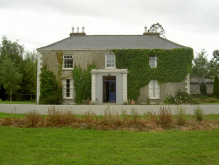 Kilincoole HouseHouse · 510 yd
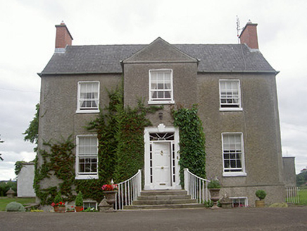 The Old RectoryRectory/glebe/vicarage/curate's house · 555 yd
 Bawn in DarverBawn · 1445 yd
 Dundalk CentralHeritage attraction · 5.5 mi
 Maid of ErinMemorial · 5.8 mi
 Castletown MotteArchaeological place · 5.9 mi
 Kellys MonumentMonument · 5.9 mi
 Louth County MuseumMuseum · 5.9 mi
 Franciscan Bell Tower, 1240'sMonument · 6.1 mi
 Soldiers' PointHeadland · 7.4 mi
 Battle of FaughartMajor battlefield · 8.5 mi
 Ballsmill Amenity LandPicnic place · 9.0 mi
Pictures: National Inventory of Architectural Heritage; Garry Dickinson, Geograph · CC BY-SA 2.0; Eric Jones, Geograph · CC BY-SA 2.0; Dundalk99, Wikimedia Commons · CC BY-SA 4.0; GilPe, Wikimedia Commons · CC BY-SA 4.0; TommyMurf, Wikimedia Commons · CC BY-SA 4.0
More archaeology and monuments in County Louth · All of County Louth
What do you know about this place?