What is recorded here
The following description is derived from both the published 'Archaeological Inventory of County Louth' (Dublin: Stationery Office, 1986) and the 'Archaeological Survey of County Louth' (Dublin: Stationery Office, 1991). In certain instances the entries have been revised and updated in the light of recent research.
Date of upload/revision: 17 July 2007
E gable of what appears to have been a medieval parish church survived here at least until 1911 (CLAJ 1911, opp. 384). In 1966 some featureless fragments apparently survived, but by 1984 nothing was visible. (CLAJ 1943, 207)
The monument record does not grant public access. Check the route and ask the landowner before entering private land.
- What survives
- Recorded monument
Places near here
 mill (water)mill (water) · 43 yd
 CastleCastle, motte and bailey · 212 yd
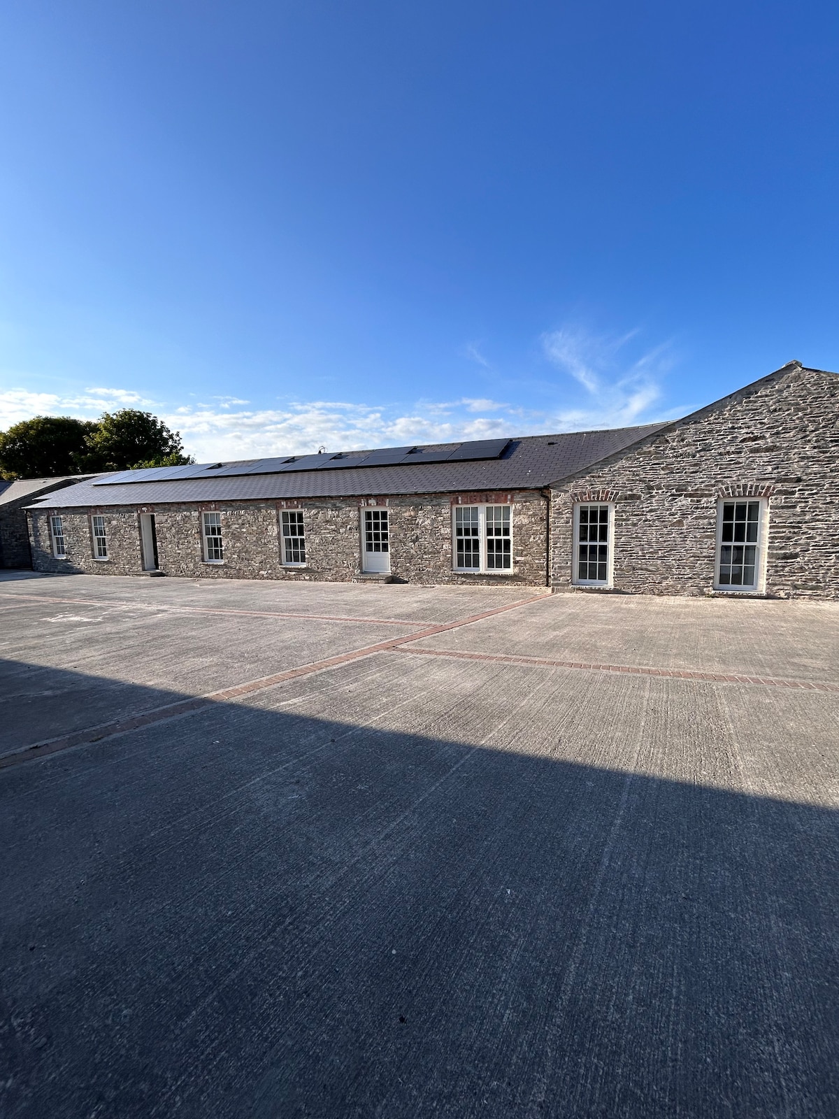 Enclosure in TullygowanEnclosure · 1023 yd
 New Bridgebridge · 1436 yd
 Man-made underground passage in CorradoranMan-made underground passage · 1630 yd
 Flat cemetery in AnnaheanFlat cemetery · 2.1 mi
 RathneestinCastle, tower house · 3.5 mi
 Monkey-puzzleMonkey-puzzle · 4.1 mi
 European BeechEuropean Beech · 4.2 mi
:no_upscale()/cdn.vox-cdn.com/uploads/chorus_asset/file/25593391/County_Louth_6th.jpg) LouthMountain / peak · 4.3 mi
LouthMountain / peak · 4.3 mi TobernagalliaghSpring · 6.1 mi
 Ballsmill Amenity LandPicnic place · 9.7 mi