
What is recorded here
New Bridge at Aghafad gets you out of your townland, out of Monaghan and out of Ulster in one crossing. A fierce amount of leaving for a bridge where the neighbours can still see you.
Triple-arch stone bridge carrying road over Longfield River, built c.1820. Segmental arches, middle being wider and slightly taller, having roughly dressed voussoirs. Rubble stone walls and soffits. Dressed stone copings to parapets, having incised benchmark to north parapet. Stone V-cutwater and U-cutwater to north elevation.
This is a traditionally constructed bridge in unrefined locally-sourced stone resulting in an appealing textured visual effect assimilating pleasantly into the surrounding rural landscape. Well constructed, and still in use providing important infrastructure to the locality. It marks the boundary not just between two townlands, but between the counties of Monaghan and Louth, and hence between the provinces of Ulster and Leinster.
From the Buildings of Ireland (National Inventory of Architectural Heritage) record 41403142
This does not grant access. Most recorded buildings are privately owned; view them only from public ground unless the owner allows entry.
Places near here
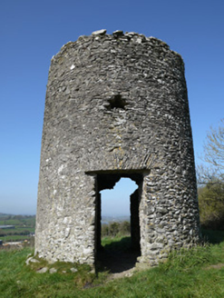 mill (wind)546 yd
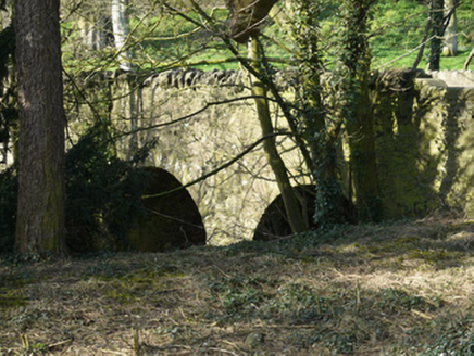 bridge709 yd
 Monkey-puzzle3.3 mi
 European Beech3.4 mi
 Mannan Castle (in ruins)Castle, Anglo-Norman masonry castle · 4.1 mi
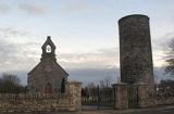 Round Tower4.6 mi
 The College (in Ruins)College · 8.3 mi
 CastleCastle, tower house · 8.4 mi
 Graveyard in StickillinGraveyard · 9.3 mi
 Ballsmill Amenity LandPicnic place · 9.9 mi
 Dundalk CentralHeritage attraction · 10 mi
 Graveyard in Richardstown (ardee By., Richardstown Par.)Graveyard · 11 mi
Pictures: National Inventory of Architectural Heritage; Vicente Fernández Rioja, Wikimedia Commons · CC BY-SA 4.0; Malene Thyssen, Wikimedia Commons · CC BY-SA 3.0; Kieran Campbell, Geograph · CC BY-SA 2.0; Cathar11, Wikimedia Commons · CC0; Dasmuy, Wikimedia Commons · CC BY-SA 4.0; Nuala Furley, Wikimedia Commons · CC BY-SA 4.0; Kieran Campbell, Geograph · Creative Commons Attribution-ShareAlike 2.0; Eric Jones, Geograph · CC BY-SA 2.0
More historic places in County Monaghan · All of County Monaghan
What do you know about this place?