
What is recorded here
The following description is derived from both the published 'Archaeological Inventory of County Louth' (Dublin: Stationery Office, 1986) and the 'Archaeological Survey of County Louth' (Dublin: Stationery Office, 1991). In certain instances the entries have been revised and updated in the light of recent research.
Date of upload/revision: 17 July 2007
Cropmark ring defining circular enclosure (max. diam. c. 22m) on aerial photograph (CUCAP, BDH 11).
The monument record does not grant public access. Check the route and ask the landowner before entering private land.
- What survives
- Recorded monument
Places near here
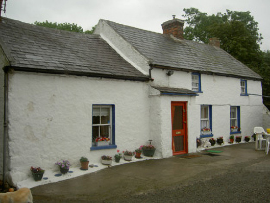 farm housefarm house · 372 yd
 Enclosure in Ardtully MoreEnclosure · 650 yd
 Enclosure in BallugEnclosure · 835 yd
 Ballug CastleCastle · 1253 yd
 Grange Abbey (in Ruins)Church · 1298 yd
 The BushPicnic place · 1.1 mi
 St James WellSpring · 1.7 mi
 Cooley PointHeadland · 1.7 mi
 Grange UpperMountain / peak · 1.8 mi
 Castle in RuinsCastle, unclassified · 1.8 mi
 BarnavaveMountain / peak · 2.4 mi
 GreenoreVisitor information · 2.6 mi
Other information
Photo: Credit not shown in the picture search · Rights wording not checked; contact us if this picture should be removed