What is recorded here
Fairy forts are often the last refuges for displaced fairies when humans take their fields. In Rath Lower, an oval earthen bank still rises half a metre above the grass, enclosing a small platform where forgotten people may have lived before becoming a nursery rhyme. The earth has softened and scattered, yet the shape remains clear enough to walk around at dusk.
The following description is derived from both the published 'Archaeological Inventory of County Louth' (Dublin: Stationery Office, 1986) and the 'Archaeological Survey of County Louth' (Dublin: Stationery Office, 1991). In certain instances the entries have been revised and updated in the light of recent research.
Date of upload/revision: 17 July 2007
Oval area enclosed by much-degraded earthen bank forming a scarped platform (int. dims. 23.5m N-S, c. 12m E-W, H 0.6-1.8m). This may be the site referred to as 'a Tumulus or Sepulchral Mount' by Wright (1758, 7).
The monument record does not grant public access. Check the route and ask the landowner before entering private land.
- What survives
- Recorded monument
Places near here
 Grange Abbey (in Ruins)Church · 92 yd
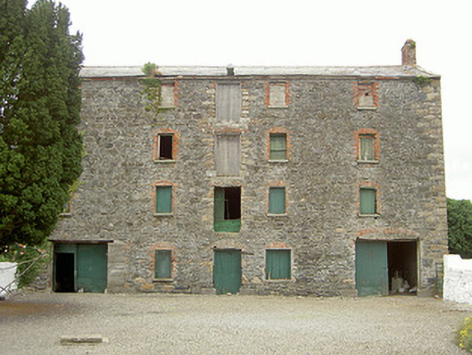 granarygranary · 178 yd
 Enclosure in Grange OldEnclosure · 1215 yd
 The BushPicnic place · 1427 yd
 Enclosure in Mullaghattin (dundalk Lwr By; Carlingford Par.)Enclosure · 1580 yd
 Grange UpperMountain / peak · 1.1 mi
 Ballug CastleCastle · 1.3 mi
 Cooley CastleCastle, tower house · 1.6 mi
 St James WellSpring · 1.7 mi
 BarnavaveMountain / peak · 1.8 mi
 Cooley PointHeadland · 2.4 mi
 GreenoreVisitor information · 2.6 mi