
What is recorded here
Mullaghattin held a bivallate ringfort, meaning two concentric defence lines rather than one, but time and human change have blurred most of that shape. What remains is an enclosure in County Louth, not a complete fortress, yet the doubled idea still lives inside its name. Any person standing there would be reading a place where defence, memory and loss have all been compressed into one uneven line of earth.
The following description is derived from both the published 'Archaeological Inventory of County Louth' (Dublin: Stationery Office, 1986) and the 'Archaeological Survey of County Louth' (Dublin: Stationery Office, 1991). In certain instances the entries have been revised and updated in the light of recent research.
Date of upload/revision: 17 July 2007
Possible remains of bivallate ringfort now extensively altered.
The monument record does not grant public access. Check the route and ask the landowner before entering private land.
- What survives
- Recorded monument
Places near here
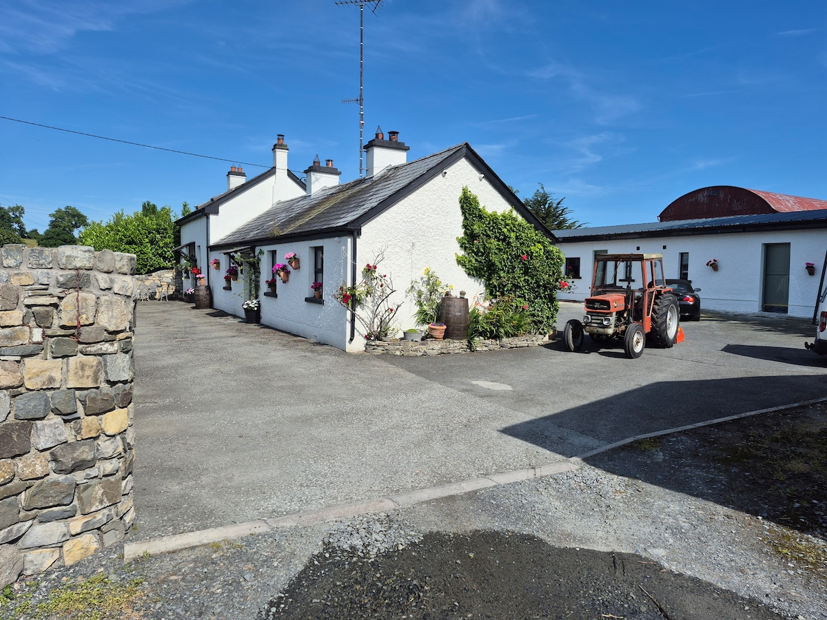 DunanoreFairy fort / earthen ringfort · 461 yd
 Enclosure in CastletowncooleyEnclosure · 776 yd
 Grange UpperMountain / peak · 928 yd
 The BushPicnic place · 1170 yd
 Castletown Househouse · 1222 yd
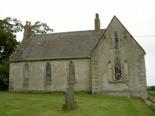 Saint Andrew's Church (Carlingford)school · 1241 yd
 Cooley CastleCastle, tower house · 1281 yd
 Mount Bagnell FoerCastle, motte and bailey · 1.2 mi
 BarnavaveMountain / peak · 1.5 mi
 Carlingford - Loop 1A- Commons LoopWalking route · 2.2 mi
 Graveyard in Liberties OF CarlingfordGraveyard · 2.4 mi
 Carlingford Heritage CentreVisitor information · 2.4 mi
Other information
Photo: Credit not shown in the picture search · Rights wording not checked; contact us if this picture should be removed