
What is recorded here
Located at the S end of a small N-S ridge. The early church (MO008-011----) that was probably founded by St. Molua in the sixth century is within a circular grass-covered area (diam. c. 80-85m) defined by a scarp that is best preserved WNW-NE (at N: Wth c. 5m; H c. 1m) and E-SW. The enclosure is overlain by field banks that approach from NE, SE, SW and NW and meet around the burial ground (MO008-011001-) at its centre. (Brindley 1988, 49)
Compiled by: Michael Moore
Date of upload: 30 August 2017
A local fairy fort (ringfort/rath); wider significance not recorded.
The monument record does not grant public access. Check the route and ask the landowner before entering private land.
- What survives
- Recorded monument
Places near here
 Not indicatdCross, High cross · 16 yd
 Crannog in DrumgoastCrannog · 802 yd
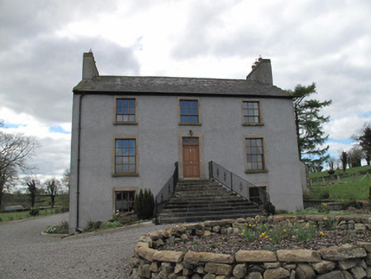 Kilcorran Househouse · 1542 yd
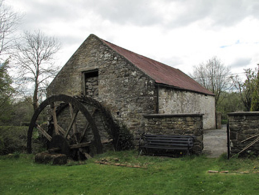 Drummans Millmill (water) · 1.3 mi
 Rough HillMountain / peak · 2.6 mi
 Jaundice WellSpring · 3.2 mi
 Sliabh Beagh Hotel and Tourism CentreVisitor information · 3.9 mi
 Western RedcedarWestern Redcedar · 4.2 mi
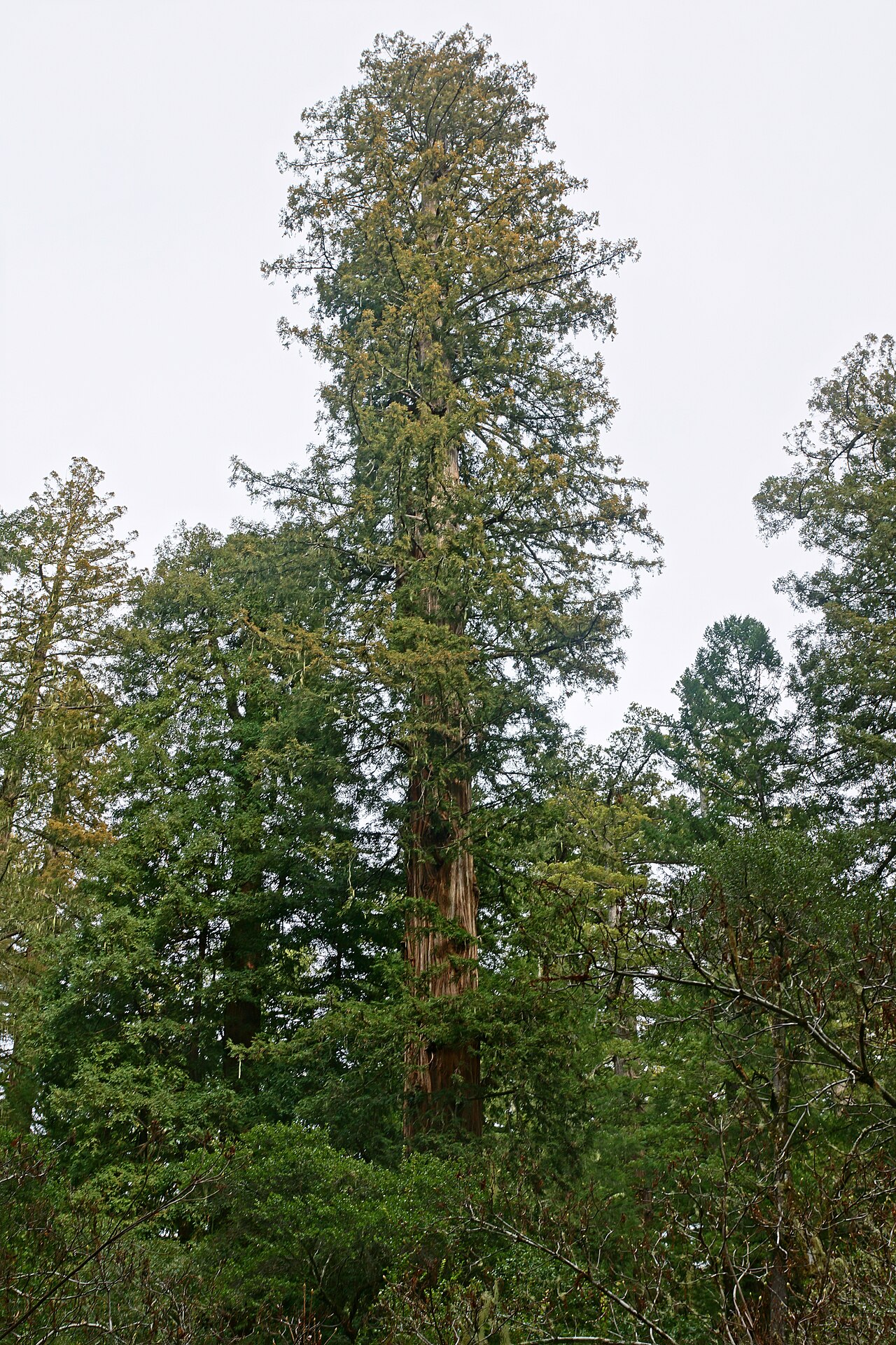 Coast RedwoodCoast Redwood · 4.2 mi
 Roosky Castle (Site of)Castle, ringwork · 4.4 mi
 Lisarrilly HillMountain / peak · 4.5 mi
 Dagda's CauldronHeritage attraction · 5.4 mi
Other information
Photo: Credit not shown in the picture search · Rights wording not checked; contact us if this picture should be removed