What is recorded here
Fairy fort in Drumslavog: an earthen ringfort on a west-east spur near the top of an east-facing slope and the north end of a northeast-southwest drumlin ridge. The oval measures about 32 metres northwest-southeast and 26 metres northeast-southwest, with a scarp greatest at the south and a fosse cutting west-northwest across the spur, yet no original entrance remains clear. People may have lived there, feared the fairies, or simply avoided the place because its shape refused to be known.
Located on a W-E spur towards the top of the E-facing slope and towards the N end of a NE-SW drumlin ridge. This is a raised oval and overgrown area (dims c. 32m NW-SE; c. 26m NE-SW) defined by a scarp (at E: Wth 1m; H 1.3m; at N: Wth 2.1m; H 1.7m) which is greatest at S (Wth 3.2m; H 3.2m). There is a fosse (Wth of top 3.5m; Wth of base 2.4m; D 0.7m) W-NW across the spur, but there is no identifiable original entrance.
The above description is derived from the published 'Archaeological Inventory of County Monaghan' (Dublin: Stationery Office, 1986). In certain instances the entries have been revised and updated in the light of recent research.
Date of revision: 30 August 2017
The monument record does not grant public access. Check the route and ask the landowner before entering private land.
- What survives
- Recorded monument
Places near here
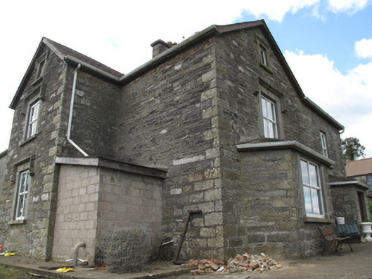 Clonamully Househouse · 625 yd
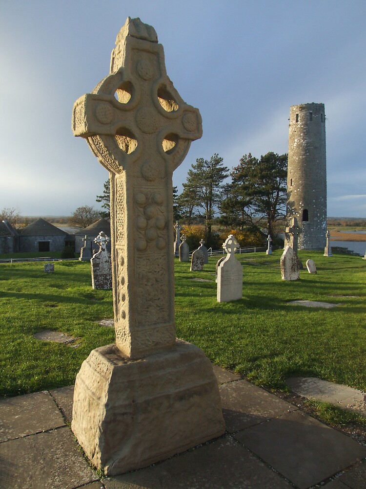 Cross in ClonamullyCross · 681 yd
 IndicatedFairy fort / earthen ringfort · 1020 yd
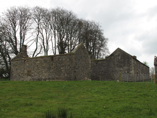 Hollywood Housecountry house · 1562 yd
 Rough HillMountain / peak · 1.4 mi
 Western RedcedarWestern Redcedar · 2.9 mi
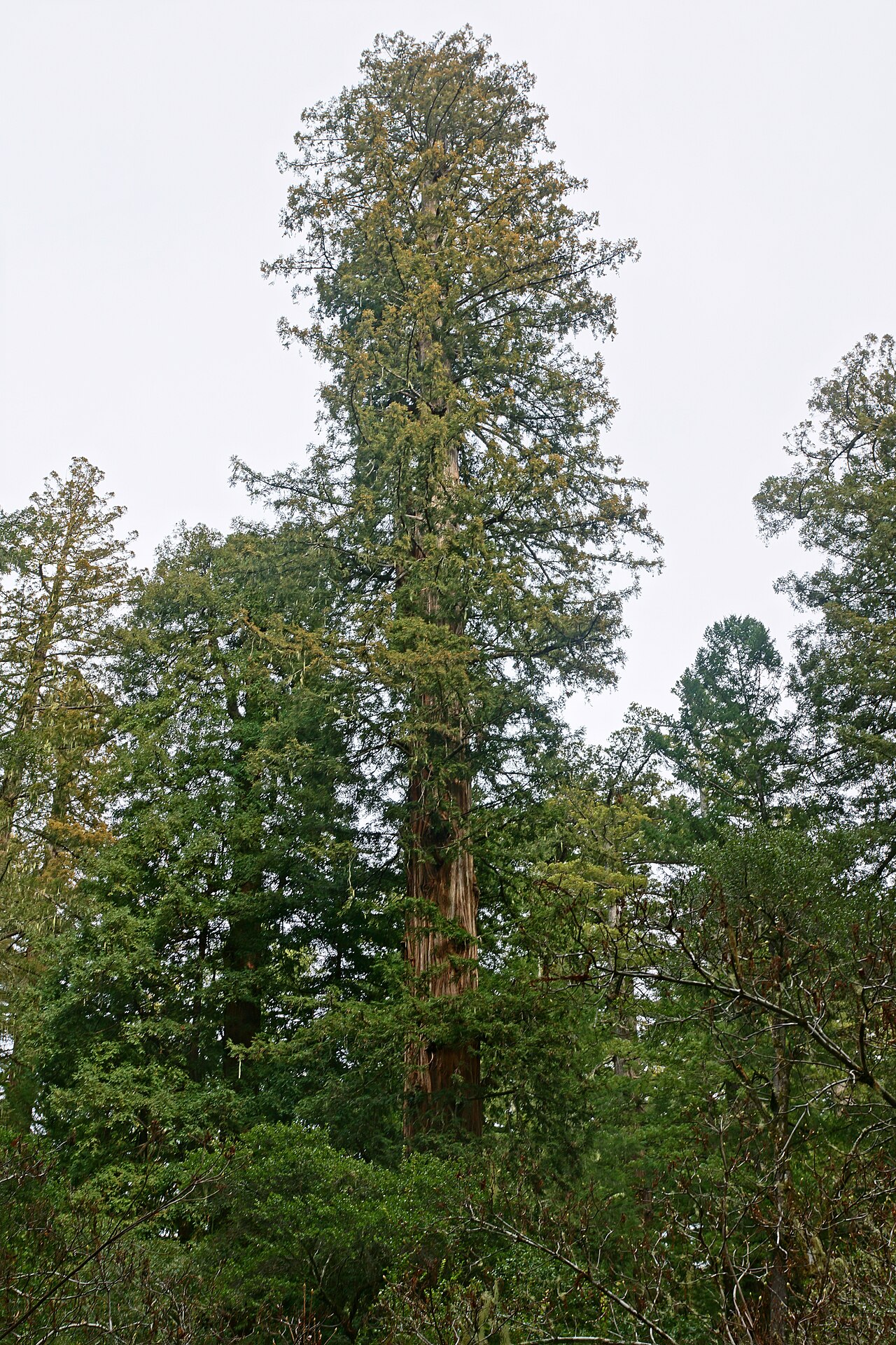 Coast RedwoodCoast Redwood · 2.9 mi
 Sliabh Beagh Hotel and Tourism CentreVisitor information · 3.7 mi
 Banba GiantHeritage attraction · 4.0 mi
 Roddy-Den-Drum GiantHeritage attraction · 4.1 mi
 Jaundice WellSpring · 4.3 mi
 Lisarrilly HillMountain / peak · 4.9 mi