What is recorded here
The following description is derived from the published 'Archaeological Inventory of County Monaghan' (Dublin: Stationery Office, 1986). In certain instances the entries have been revised and updated in the light of recent research.
Date of upload/revision: 17 July 2007
Portion of earthen bank visible from S-W-N (C 25.5m).
The monument record does not grant public access. Check the route and ask the landowner before entering private land.
- What survives
- Recorded monument
Places near here
 IndicatedCrannog · 563 yd
 Crannog in DrumgoastCrannog · 615 yd
 Corrinshigo Cottagehouse · 1457 yd
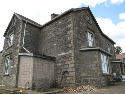 Clonamully Househouse · 1.3 mi
 Rough HillMountain / peak · 1.8 mi
 Jaundice WellSpring · 3.3 mi
 Hazel WoodWood · 3.5 mi
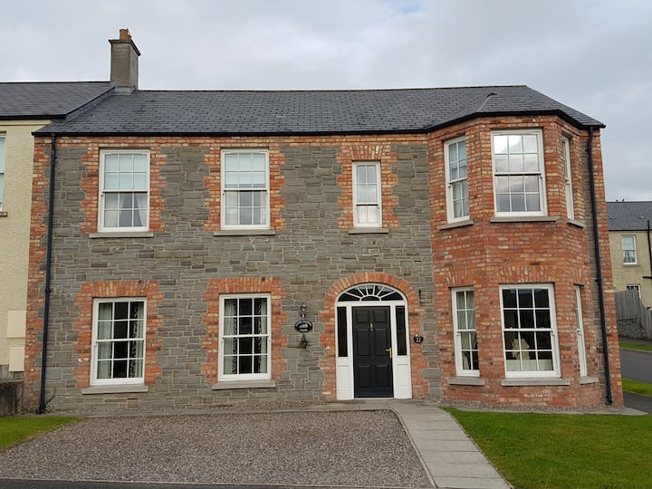 Churchland WoodWood · 3.9 mi
 Roosky Castle (Site of)Castle, ringwork · 4.1 mi
 Lisarrilly HillMountain / peak · 4.1 mi
 Sliabh Beagh Hotel and Tourism CentreVisitor information · 4.2 mi
 Banba GiantHeritage attraction · 4.5 mi