What is recorded here
Located at the SE end of a fairly low but long NW-SE ridge. It is depicted as a large enclosure (ext. diam. c. 60m), perhaps with two banks or a single wide bank, on the 1834 edition of the OS 6-inch map and as an oval enclosure (ext. dims c. 60m NW-SE: c. 50m NE-SW) with two banks or perhaps an inner platform on the 1907 edition. It was quarried for gravel c. 1965, and it is not certain if any archaeological features remain
The above description is derived from the published 'Archaeological Inventory of County Monaghan' (Dublin: Stationery Office, 1986). In certain instances the entries have been revised and updated in the light of recent research.
Date of revision: 24 August 2017
The monument record does not grant public access. Check the route and ask the landowner before entering private land.
- What survives
- Recorded monument
Places near here
 Lisdrumturk fortFairy fort / earthen ringfort · 516 yd
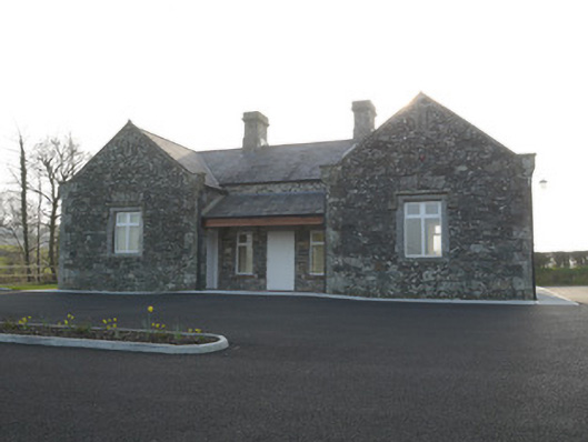 Corvally National Schoolschool · 1315 yd
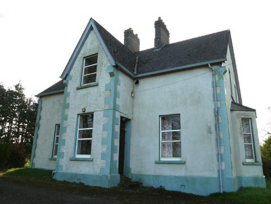 The Mansemanse · 1337 yd
 RaferaghMountain / peak · 1337 yd
 Hut site in RaferaghHut site · 1641 yd
 NorthlandsWood · 1.7 mi
 Drumerlough MoreMountain / peak · 2.8 mi
 Taghart South ForestForest · 2.8 mi
 Bawn in LisdrumskeaBawn · 2.8 mi
 Bush IslandIslet · 3.1 mi
 Gull IslandIslet · 3.3 mi
 Giants GraveArchaeological place · 4.2 mi