What is recorded here
Corlea’s earthen ringfort sits just off the crest of a sunny drumlin slope, marking human presence in County Monaghan since at least 1793. Its thirty-four-metre circle, shallow ditch and eastern entrance suggest a defended home or boundary marker rather than a fairy tale. The preserved shape testifies that ordinary people shaped this landscape long before modern records.
Located just off the crest of the S-facing slope of a drumlin. This rath is depicted on McCrea’s map of Co. Monaghan (1793). It is a circular grass and scrub-covered area (diam. 34.4m NW-SE) that slopes down to the SE (H 2.5m) defined by an earthen bank (Wth of base 5-6; int. H 0.5m at S to 1.5m at N; ext. H 1.2-1.5m) with traces of internal and external stone facing. A fosse (at N: Wth of top 4.5m; Wth of base 3.2m; ext. D 0.6m) is evident W-N-E. There is an entrance (Wth of base 2m) at E.
The above description is derived from the published 'Archaeological Inventory of County Monaghan' (Dublin: Stationery Office, 1986). In certain instances the entries have been revised and updated in the light of recent research.
Date of revision: 24 August 2017
The monument record does not grant public access. Check the route and ask the landowner before entering private land.
- What survives
- Recorded monument
Places near here
 Glen Cottagehouse · 914 yd
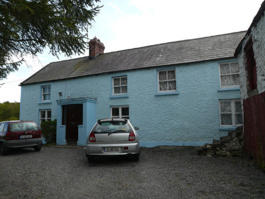 farmyard complexfarmyard complex · 1553 yd
 Not inidicatedMan-made underground passage · 1.0 mi
 Fairy fort / earthen ringfort in AghinillardFairy fort / earthen ringfort · 1.0 mi
 RaferaghMountain / peak · 2.3 mi
 Drumerlough MoreMountain / peak · 2.6 mi
 European BeechEuropean Beech · 2.7 mi
 NorthlandsWood · 2.7 mi
 TobernagalliaghSpring · 3.8 mi
 Mannan Castle (in ruins)Castle, Anglo-Norman masonry castle · 4.3 mi
 Giants GraveArchaeological place · 4.3 mi
 Bawn in LisdrumskeaBawn · 4.4 mi