What is recorded here
There is local knowledge of a Man-made underground passage in the bank of rath (MO030-032001-) at NNE, which is said to have had a lintelled entrance, but it is no longer evident.
From the National Monuments Service (Archaeological Survey of Ireland) record MO030-032002
The monument record does not grant public access. Check the route and ask the landowner before entering private land.
- What survives
- Recorded monument
Places near here
Photo credits
- National Inventory of Architectural Heritage
- Malene Thyssen, Wikimedia Commons · CC BY-SA 3.0
- Vicente Fernández Rioja, Wikimedia Commons · CC BY-SA 4.0
- Oliver Dixon, Geograph · CC BY-SA 2.0
- Wanfried-Dublin, Wikimedia Commons · CC BY-SA 4.0
- Kieran Campbell, Geograph · CC BY-SA 2.0
Fairy fort / earthen ringfort in AghinillardFairy fort / earthen ringfort · 23 yd farmyard complex327 ydfarm house1536 ydDrumerlough MoreMountain / peak · 1.6 miRaferaghMountain / peak · 2.3 miEuropean Beech2.7 miMonkey-puzzle2.7 miBush IslandIslet · 4.7 miWedge tomb in LisnadarraghWedge tomb · 4.8 miFair of MuffMemorial · 4.9 miFair of MuffVisitor information · 4.9 miMannan Castle (in ruins)Castle, Anglo-Norman masonry castle · 5.0 mi
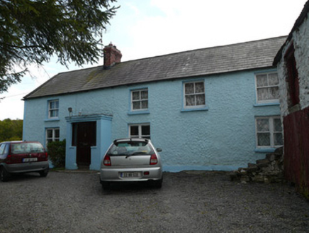 farmyard complex327 yd
 farm house1536 ydDrumerlough MoreMountain / peak · 1.6 miRaferaghMountain / peak · 2.3 mi
 European Beech2.7 mi
 Monkey-puzzle2.7 mi
 Bush IslandIslet · 4.7 mi
 Wedge tomb in LisnadarraghWedge tomb · 4.8 mi
 Fair of MuffMemorial · 4.9 mi
 Fair of MuffVisitor information · 4.9 mi
 Mannan Castle (in ruins)Castle, Anglo-Norman masonry castle · 5.0 mi
More archaeology and monuments in County Monaghan · All of County Monaghan
What do you know about this place?