
What is recorded here
From the National Monuments Service (Archaeological Survey of Ireland) record LH006-039
Places near here
Photo credits
- National Inventory of Architectural Heritage
- Maker not stated on source page, www.pinterest.com
- Maker not stated on source page, storage.googleapis.com
- Maker not stated on source page, www.tripadvisor.com.ph
- Maker not stated on source page, en.wikipedia.org
- Maker not stated on source page, monumentalireland.ie
- Maker not stated on source page, de.wikipedia.org
- Maker not stated on source page, commons.wikimedia.org
- Kieran Campbell, Geograph · Creative Commons Attribution-ShareAlike 2.0
- Maker not stated on source page, www.irelandbeforeyoudie.com
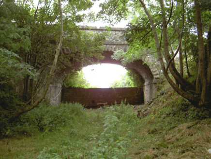 Tullagee BridgeBridge · 525 yd
Explorer Tom Tullagee Bridge has made a solemn New Year's resolution to stop pretending trains still rattle underneath it, even…
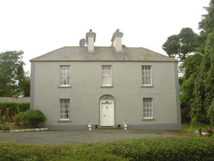 Tullagee HouseHouse · 821 yd
Explorer Tom Tullagee House has a dog who thinks he’s the landlord and barks at all authority. The grounds are lovely, but that…
 Graveyard in KillaconnerGraveyard · 1263 yd
Explorer Tom Graveyard in Kane would love to say it was the cool cousin to the place that replaced it next door. It is probably…
 Fairy fort / ringfort in BallintraFairy fort / ringfort · 1466 yd
Explorer Tom Fairy fort / ringfort in Ballintra has got serious beef with modern architecture. It’s sitting on that rocky outcrop…
 Graveyard in ChanonrockGraveyard · 1.0 mi
Explorer Tom Kilmalloo claims St Mollua lives here, but nobody can find the spot, so he’s likely hiding from the paperwork. It holds…
 Standing stone in Ash LittleStanding stone · 1.3 mi
Explorer Tom Ash Little’s standing stone stands alone in a field, probably listening to the cows gossip about the farmer. It’s been…
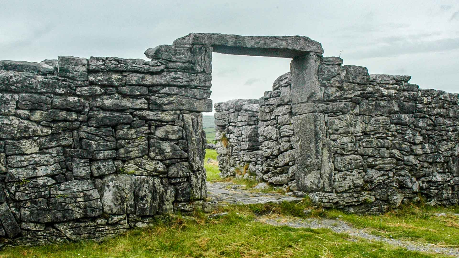 Fairy fort / earthen ringfort in ChanonrockFairy fort / earthen ringfort · 1.3 mi
Explorer Tom Fairy fort / earthen ringfort in Chanonrock started when two lads bet a pint over a ditch. It’s got a na on top, which…
 Standing stone in CastleringStanding stone · 1.6 mi
Explorer Tom Standing stone in Castlering is the shortcut that isn’t actually a shortcut at all. It just looks like a path, but it…
 Church in Ash Big,carrickmullanChurch · 1.6 mi
Explorer Tom Church in Ash Big, Carrickmullan has a long list of former names, including Shankill, which sounds way cooler than its…
 Graveyard in Ash Big,carrickmullanGraveyard · 1.6 mi
Explorer Tom Graveyard in Artnalevery is having a fit because the locals just can't agree on who actually buried whom here. I bet…
 Killycroney BridgeBridge · 1.6 mi
Explorer Tom Killycroney Bridge carries a road over an old railway line that died in the fifties. Rumour has it Queen Victoria…
 CastleCastle, motte · 2.4 mi
Explorer Tom Barronstown Castle is just a small mound on a ridge, probably dreaming of the days when it had actual walls to hide…
More archaeology and monuments in County Louth · All of County Louth

What do you know about this place?Tap to add a comment or ask a question