What is recorded here
No fairies built the fort at Chanonrock, although people once believed that is what happened. The truth is less magical but more interesting: human hands shaped a circular earthen platform twenty-four metres across on a natural hillock in County Louth. They cut part of the entrance, left a bank along the top edge and made a place strong enough to be remembered long after its builders disappeared.
The following description is derived from both the published 'Archaeological Inventory of County Louth' (Dublin: Stationery Office, 1986) and the 'Archaeological Survey of County Louth' (Dublin: Stationery Office, 1991). In certain instances the entries have been revised and updated in the light of recent research.
Date of upload/revision: 17 July 2007
Circular (int. diam. 24m, H 2.4m) earthen platform constructed on top of a natural hillock. Traces of bank at upper edge of platform. Vague traces of external fosse at SSE, with depression (Wth 4.6m) in platform edge at ESE probably marking position of the original entrance.
The monument record does not grant public access. Check the route and ask the landowner before entering private land.
- What survives
- Recorded monument
Places near here
 Windmill in ChanonrockWindmill · 671 yd
 Enclosure in DrumirrilEnclosure · 726 yd
 Church in ChanonrockChurch · 950 yd
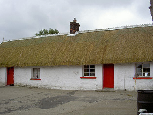 The Thatchhouse · 1266 yd
 CastleCastle, motte and bailey · 1.2 mi
 Mount AshCastle, motte · 2.0 mi
:no_upscale()/cdn.vox-cdn.com/uploads/chorus_asset/file/25593391/County_Louth_6th.jpg) LouthMountain / peak · 2.6 mi
LouthMountain / peak · 2.6 mi Flat cemetery in AnnaheanFlat cemetery · 5.6 mi
 Photo GalleryHeritage attraction · 6.2 mi
 Dundalk CentralHeritage attraction · 6.2 mi
 Sky HillMountain / peak · 6.2 mi
 Ballsmill Amenity LandPicnic place · 6.3 mi