What is recorded here
Fairy forts are not for human use. That much is certain. The rock outcrop in Ballintra stands four metres above the surrounding low land, a circular ridge thirty-six to forty-two metres across where earthen banks still trace the perimeter. Quarrying scarred the southwest side, perhaps stealing stone for a wall or road, but the shape remained. What lived inside that circle before the quarry came? The ground keeps its own counsel, marking the boundary without explaining the purpose.
Located on a small rise of rock outcrop (H c. 4m) in a fairly low-lying landscape. It is depicted as a circular embanked enclosure described in gothic lettering as a ‘fort’ on the 1834 edition of the OS 6-inch map. This is an approximately circular overgrown area of rock outcrop (diam. c. 36-42m) with traces of an earthen bank (Wth 1.8m; int. H 0.3m) on the perimeter at SW. The sides are scarped (H c. 1-2m) and there is a bank (Wth 2.1m; int. H 0.35m; ext. H 0.5m) at the base of the scarp at SW. There is no visible entrance, but quarrying has taken place at SW.
The above description is derived from the published 'Archaeological Inventory of County Monaghan' (Dublin: Stationery Office, 1986). In certain instances the entries have been revised and updated in the light of recent research.
Date of revision: 27 July 2017
The monument record does not grant public access. Check the route and ask the landowner before entering private land.
- What survives
- Recorded monument
Places near here
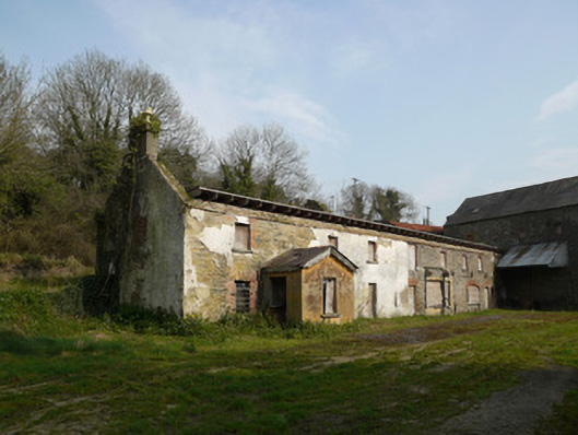 Inishkeen Millsmill manager's house · 966 yd
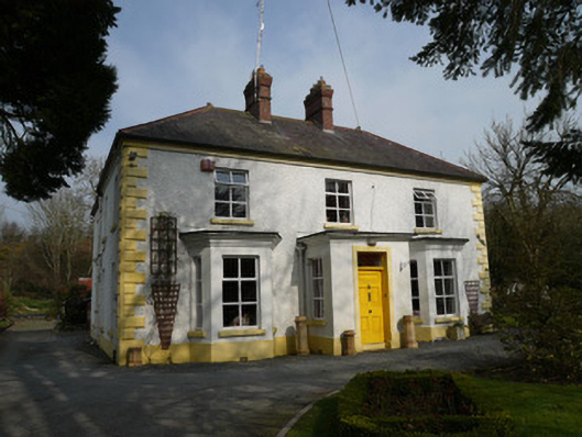 Gleneven Househouse · 1047 yd
 Man-made underground passage in ComraghsMan-made underground passage · 1115 yd
 Man-made underground passage in CandlefortMan-made underground passage · 1350 yd
 CastleCastle, motte and bailey · 1.8 mi
 Mount AshCastle, motte · 2.2 mi
:no_upscale()/cdn.vox-cdn.com/uploads/chorus_asset/file/25593391/County_Louth_6th.jpg) LouthMountain / peak · 3.6 mi
LouthMountain / peak · 3.6 mi Sky HillMountain / peak · 5.4 mi
 Ballsmill Amenity LandPicnic place · 5.5 mi
 Photo GalleryHeritage attraction · 6.1 mi
 Dundalk CentralHeritage attraction · 6.1 mi
 Maid of ErinMemorial · 6.6 mi