
What is recorded here
Situated at the summit of a NW-SE drumlin ridge. A grass-covered depression (L 5.5m NNE-SSW; Wth 1.3-1.5m; max. D 0.7m) inside the bank of rath (MO032-016----) at NW and another hollow (L 4m) 2m to the SW are likely to represent two collapsed portions of a souterain.
Compiled by: Michael Moore
Date of upload: 27 July 2017
The monument record does not grant public access. Check the route and ask the landowner before entering private land.
- What survives
- Recorded monument
Places near here
 Field system in DrumirrilField system · 804 yd
 Enclosure in DrumirrilEnclosure · 827 yd
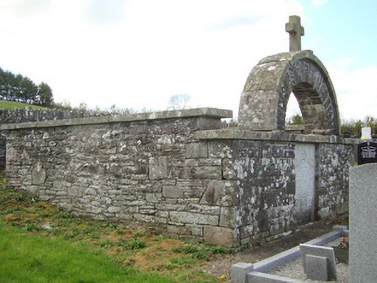 monumentmonument · 1405 yd
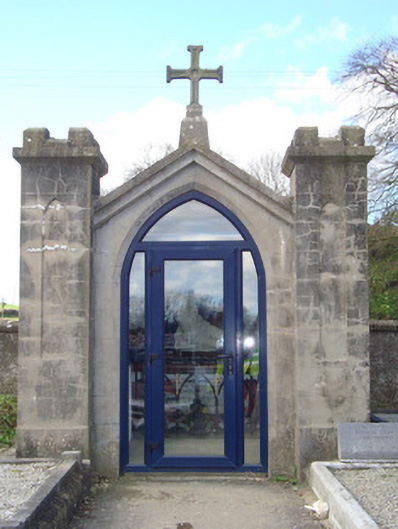 shrine/oratory/grottoshrine/oratory/grotto · 1469 yd
 CastleCastle, motte and bailey · 2.0 mi
 Mount AshCastle, motte · 2.6 mi
:no_upscale()/cdn.vox-cdn.com/uploads/chorus_asset/file/25593391/County_Louth_6th.jpg) LouthMountain / peak · 3.4 mi
LouthMountain / peak · 3.4 mi Flat cemetery in AnnaheanFlat cemetery · 5.7 mi
 Sky HillMountain / peak · 6.1 mi
 Ballsmill Amenity LandPicnic place · 6.1 mi
 Photo GalleryHeritage attraction · 6.7 mi
 Dundalk CentralHeritage attraction · 6.7 mi
Other information
Photo: Credit not shown in the picture search · Rights wording not checked; contact us if this picture should be removed