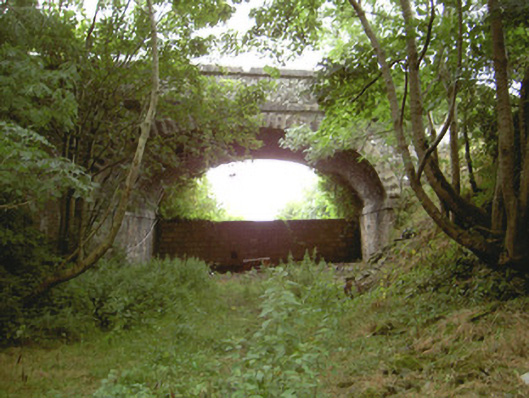
What is recorded here
From the Buildings of Ireland (National Inventory of Architectural Heritage) record 13900611
Places near here
Picture notes
- National Inventory of Architectural Heritage
- Cathar11, Wikimedia Commons · CC0
- Computer-made picture. It does not show this playground.
- Kieran Campbell, Geograph · CC BY-SA 2.0
- John Donnellan, Wikimedia Commons · CC BY-SA 4.0
- Eric Jones, Geograph · CC BY-SA 2.0
- Garry Dickinson, Geograph · CC BY-SA 2.0
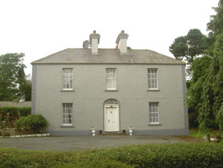 Tullagee HouseHouse · 354 yd
Explorer Tom Tullagee House has caught my eye in Tullagee, County Louth. I bet a house with a name like that could keep me talking all afternoon; I'm already inventing a daft little scene for it, and I'll stop before it turns into history.
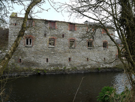 Inishkeen MillsMill (water) · 1.2 mi
Explorer Tom Inishkeen Mills has caught my eye in Drumass, County Monaghan. I bet a mill (water) with a name like that could keep me talking all afternoon; I'm already inventing a daft little scene for it, and I'll stop before it turns into history.
 Round Tower1.6 mi
Explorer Tom Round Tower in Inishkeen Glebe has caught my eye in Inishkeen Glebe, County Monaghan. I bet a round tower with a name like that could keep me talking all afternoon; I'm already inventing a daft little scene for it, and I'll stop before it turns into history.
 Fane Lane ParkChildren's playground · 1.8 miComputer-made picture. It does not show this playground.
Explorer Tom Fane Lane Park has caught my eye in County Monaghan. I bet a children's playground with a name like that could keep me talking all afternoon; I'm already inventing a daft little scene for it, and I'll stop before it turns into history.
 CloghafarmoreStanding stone · 3.4 mi
Explorer Tom Cloghafarmore has caught my eye in Rathiddy, County Louth. I bet a standing stone with a name like that could keep me talking all afternoon; I'm already inventing a daft little scene for it, and I'll stop before it turns into history.
 Cú Chulainn's Final Stand: ClochafarmoreLegend location · 3.4 mi
Explorer Tom Cú Chulainn's Final Stand: Clochafarmore is linked to the tale of a wounded hero tying himself to a standing stone so he could face his enemies upright. I would have called that impossible, but then this is Cú Chulainn. The stone stands; the last stand is local lore.
 Children's playground3.9 miComputer-made picture. It does not show this playground.
Explorer Tom Children's playground has caught my eye in County Louth. I bet a children's playground with a name like that could keep me talking all afternoon; I'm already inventing a daft little scene for it, and I'll stop before it turns into history.
 Roche CastleCastle, Anglo-Norman masonry castle · 4.4 mi
Explorer Tom Roche Castle has caught my eye in Roche, County Louth. I bet a castle, anglo-norman masonry castle with a name like that could keep me talking all afternoon; I'm already inventing a daft little scene for it, and I'll stop before it turns into history.
 Dun DealganCastle, motte and bailey · 4.8 mi
Explorer Tom Dun Dealgan has caught my eye in Castletown, County Louth. I bet a castle, motte and bailey with a name like that could keep me talking all afternoon; I'm already inventing a daft little scene for it, and I'll stop before it turns into history.
 Ballsmill Amenity LandPicnic place · 5.3 mi
Explorer Tom Ballsmill Amenity Land sits right where Ballsmill Road meets Glasdrumman Road, perfect for a riverside picnic and a chat.
 Forkhill Greenspace PathwayWalking route · 7.1 mi
Explorer Tom Enjoy the Forkhill Greenspace Pathway, where a former army base has transformed into a peaceful woodland park.
 CroslieveMountain / peak · 7.2 mi
Explorer Tom This rocky knoll is an ancient volcanic vent reaching 360m, with stay wires for a blue light communications mast nearby.
More historic places in County Louth · All of County Louth

What do you know about this place?Tap to add a comment or ask a question