
What is recorded here
A large circular steep-sided mound (max. H 8.5-10m, diam. c. 43m) with external bank (Wth 3.5-5m, H c. 1.5m above surrounding ground level). A small D-shaped bailey (8m by 9m), defined by an earthen bank (Wth 5m, H 1m), adjoins the fosse of the motte at the NW. A much larger bailey existed at the E which according to Wright (1758, bk I, pl. IX) was sub-rectangular in plan, but this has now been almost totally destroyed by a modern waterworks. A slight scarp, which indicates its original limits, can still be discerned. On top of the motte are the remains of a late eighteenth century castellated house known as 'Byrne's Folly' and a peripheral bank which appears to be the same date. At the E side of the mound is a wide gap in the bank (Wth c. 4m) with a causeway across the fosse opposite it. It is uncertain whether these features are ancient or modern. A Man-made underground passage (LH007-118008-) is set into the S side of the motte. (Wright 1758, bk, I, 7-8, pls VIII, IX; Orpen 1908, 256-61). This is a National Monument, in state guardianship: No. 388. See the attached view of the motte and Byrne's Folly from E
Date of upload: 17 July 2007
A large circular steep-sided mound (max. H 8.5-10m, diam. c. 43m) with external bank (Wth 3.5-5m, H c. 1.5m above surrounding ground level). A small D-shaped bailey (8m by 9m), defined by an earthen bank (Wth 5m, H 1m), adjoins the fosse of the motte at the NW. A much larger bailey existed at the E which according to Wright (1758, bk I, pl. IX) was sub-rectangular in plan, but this has now been almost totally…
From the National Monuments Service (Archaeological Survey of Ireland) record LH007-118007
The monument record does not grant public access. Check the route and ask the landowner before entering private land.
- What survives
- Recorded monument
Places near here
Photo credits
- Dundalk99, Wikimedia Commons · CC BY-SA 4.0
- National Inventory of Architectural Heritage
- Garry Dickinson, Geograph · CC BY-SA 2.0
- Eric Jones, Geograph · CC BY-SA 2.0
- GilPe, Wikimedia Commons · CC BY-SA 4.0
- TommyMurf, Wikimedia Commons · CC BY-SA 4.0
 Castletown MotteArchaeological place · 2 yd
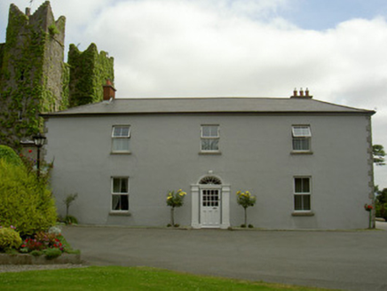 Dún LughaidhHouse · 443 yd
 CastleCastle, tower house · 468 yd
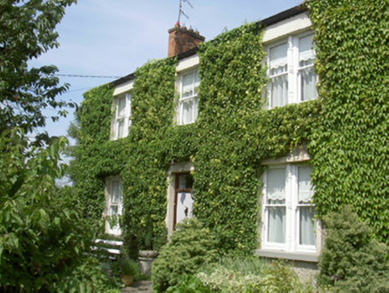 Glendine HouseHouse · 1384 yd
 Dundalk CentralHeritage attraction · 1.1 mi
 Maid of ErinMemorial · 1.3 mi
 Kellys MonumentMonument · 1.4 mi
 Louth County MuseumMuseum · 1.5 mi
 Franciscan Bell Tower, 1240'sMonument · 1.6 mi
 Battle of FaughartMajor battlefield · 2.7 mi
 Soldiers' PointHeadland · 3.4 mi
 SlievenaboleaMountain / peak · 4.0 mi
More castles and forts in County Louth · All of County Louth
What do you know about this place?