DDiscover AloneMapAbout

Convent in Ruins

Religious house, Franciscan friars

What is recorded here

Located on a slight rise of ground in undulating countryside. Reverend Shaw (1971, 24-5) recorded that a house or convent belonging to the Franciscan friars was established at Cully shortly after 1677. In this year, Charles O'Molloy, ruler of Firceall, wrote to the Pope requesting permission to establish a house for…

Read the whole record
Located on a slight rise of ground in undulating countryside. Reverend Shaw (1971, 24-5) recorded that a house or convent belonging to the Franciscan friars was established at Cully shortly after 1677. In this year, Charles O'Molloy, ruler of Firceall, wrote to the Pope requesting permission to establish a house for the Franciscans in the territory ruled by the O'Molloy's. In this letter he wrote that 'he begs your Holiness the faculty of founding, with the consent of the Local Ordinary (the Bishop of Meath), a convent of the Friars under the title of the Immaculate Conception near the already named sanctuary (Rahan), where they can reside and conserve orthodoxy in the three named baronies (Ballycowan, Ballyboy and Eglish)' (Shaw 1971, 25). According to Cogan (1867, vol. 2, 514) 'there was a Franciscan Friary here, which lasted the greater part of the last century. Many of these Fathers, in the penal times, discharged parochial duty in the neighbouring parishes'. Cogan (ibid., 514) states that this house was a 'home for the persecuted Franciscan friars in the last century. They had a farm of land attached to the Friary, and in this secluded place they observed the rules of their holy institute'. Ths farmland is depicted as the 'Convent Farm' on the 1838 edition of the Ordnance Survey six-inch map. Reverend John Egan, the last friar of Cully who was the parish priest of Eglish died in 1807 (Shaw 1971, 25). Only the S gable survives of a 17th century house or Convent for Franciscan Friars known as the Cully Friars survives upstanding. The building or convent measures externally 4.9m E-W, with a wall thickness of 0.6m. This building is orientated on a N-S axis with only short returns of the E (L 0.5m; H varies from 1.15-2.5m] and W (L 2.5m; H 1.15-2.5m) walls where they join onto the S gable. There are no traces visible of the rest of the lateral E and E walls and nothing survives of the N gable. The walls are straight sided and are built with random limestone rubble that was covered with a lime-based rough cast finish. The S gable survives to full height (c. 4m) but is now ivy-clad making examination of the upper part of this wall impossible. The gable has a rectangular shaped chimney stack (L 1.3m) which protrudes 0.35m beyond the centre of the external face of the gable. This chimney stack served a fireplace in the centre of the ground floor of the S gable. The internal surface of this gable is impossible to inspect due to the presence of field clearance material that has been dumped up aginst the face of the gable. The embrasure of a small broken out ground floor window (Wth 0.4m; H 1.1m) is located in the S gable immediately to the E of the fireplace. A small broken out recessed area visible in the inner face of the gable immediately to the S of the fireplace could be the remains of a wall oven. However the presence of field clearance debris dumped up against the inner face of the gable prevents examination or precise identification of this feature. There is no longer any evidence of doorways in the E and W walls which are described in 1974 by the Offaly Historical and Archaeological Society. These two sections of the lateral E and W walls no longer survive upstanding. In 1942 the ITA Survey (SMR File) recorded that this building consisted of a single gable along a with a small portion of the side walls and measured 18ft [5.5m] N-S by 12ft [3.65m] E-W. In 1974, the Offaly Historical and Archaeological Society recorded that the 'old walls standing 2-3m high. This is more akin to an oratory in size. S wall 8m high. Doorways on W and E, 0.6m wide' (SMR file). A punch dressed stone (OF024-002----) dated 1641 which is now located in the local pub known as the Blue Ball, originally came from this building (Shaw 1971, 57) which suggests that this building was constructed before 1677. It is possible that an existing 17th century house was converted into a Convent for the Franciscan Friars after its foundation in 1677.

From the National Monuments Service (Archaeological Survey of Ireland) record OF024-001

The monument record does not grant public access. Check the route and ask the landowner before entering private land.

What do you know about this place?Tap to add a comment or ask a question

What you write will be public.

Places near here

Photo credits
  • National Inventory of Architectural Heritage
  • Mike Searle, Geograph · CC BY-SA 2.0
post box2.6 mi

Explorer Tom Post box in Killina is wedged into a rubble wall, looking very proud of itself. It thinks it's a royal courier, even…
Killina Presentation ConventConvent/nunnery · 2.7 mi

Explorer Tom Killina Presentation Convent is standing proud with its stained-glass chapel while the Vikings supposedly wandered past…
Rahan LodgeHouse · 2.7 mi

Explorer Tom Rahan Lodge in Killina is getting picked on by the wind because its eaves brackets look like they’re trying to fly but…
Park MillsMill (water) · 5.5 mi

Explorer Tom Park Mills in Park is a water mill that has given up on being productive and now just enjoys soaking its feet in the…
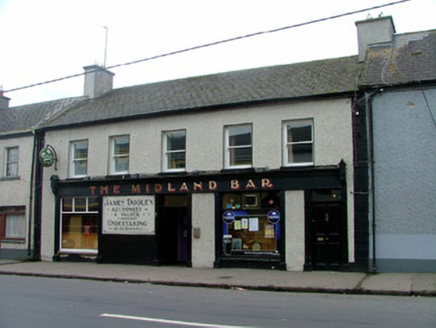
The Midland BarHouse · 5.7 mi

Explorer Tom The Midland Bar in Franckford is hiding a scandal from the nineteenth century involving a very angry landlord. Its old…
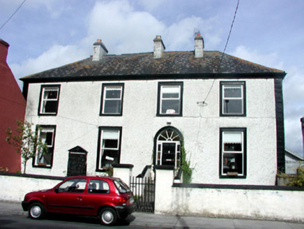
Saint Anne'sHouse · 5.7 mi

Explorer Tom Saint Anne's in Franckford is keeping secrets that would make a politician blush after three pints of stout. The render…
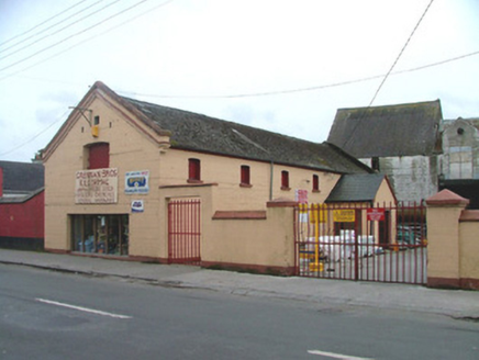
outbuilding5.8 mi

Explorer Tom Outbuilding in Franckford used to be a mill, but now it’s just a shop pretending to remember its industrial past. It…
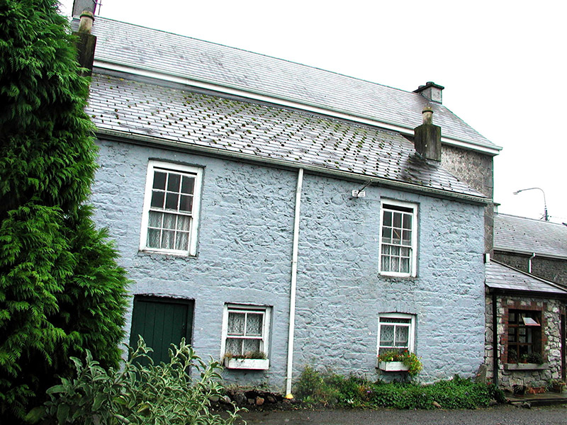
SouthavenHouse · 5.8 mi

Explorer Tom Southaven in Franckford is hugging its neighbour so tight there's no room for air. It was built on a bargain where the…
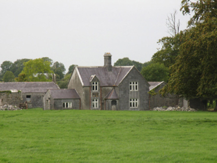
Sopwell HallSteward's house · 24 mi

Explorer Tom Sopwell Hall in Sopwell is whispering secrets through its stones if you listen close enough to the wind. It sat right…

KIllaleigh CastleBawn · 24 mi

Explorer Tom Killaleigh Castle would bring a Z-plan diagram and a stiff upper lip to any party. It’s four storeys high but feels…

Eminiska HouseHouse · 25 mi

Explorer Tom Eminiska House in Eminiska would tell the place that replaced it, 'You've got nice windows, but do they have early…

Drumnamahane CastleCastle · 25 mi

Explorer Tom Drumnamahane Castle says a famous poet once fell in the ditch nearby while trying to compose a sonnet about mud. He…

More historic places in County Offaly · All of County Offaly

Add to this placeAdd a picture Add a detailed tip Add a story

Explore the map1,095,414 places to discover

Next place · or swipepost box