What is recorded here
Situated towards the bottom of a NW-facing slope at the NE side of a SE-NW laneway and c. 25m from its junction with another NNNE-SSW road. It is described locally as a spherical boulder (diam. c. 1m) traditionally believed to have been thrown by a giant from Carriglong passage tomb (WA017-057----) (Heylin 1978, 14). According to local information coffins were rested on it en route to Drumcannon church (WA026-017001-), c. 450m to the SE. It is now missing.
Heylin, F. (1978) Reports of the Summer outings and Winter lectures: Drumcannon cromlech, Decies, No. 7, 13-15.
The above description is derived from the published 'Archaeological Inventory of County Waterford' (Dublin: Stationery Office, 1999). In certain instances the entries have been revised and updated in the light of recent research.
Compiled by: Michael Moore
Date of upload/revision: 06 January 2011
The monument record does not grant public access. Check the route and ask the landowner before entering private land.
- What survives
- Recorded monument
Places near here
 Perry's BridgeOfficially recorded historic building · 332 yd
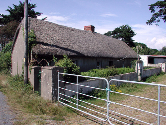 farm housefarm house · 365 yd
 Grave YardGraveyard · 502 yd
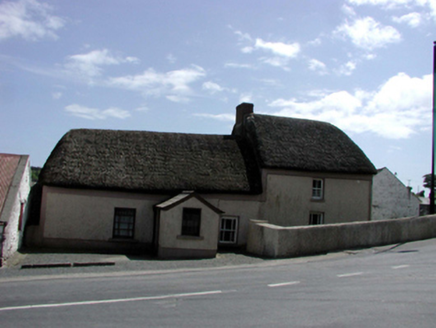 Enclosure in BallykinsellaEnclosure · 931 yd
 Cullen Castle (in ruins)Castle, tower house · 2.1 mi
 Tramore Dunes WalkWalking route · 2.2 mi
 Tramore Tourist OfficeVisitor information · 2.2 mi
 Tourist InformationVisitor information · 2.3 mi
 Sugar Loaf RockMountain / peak · 2.5 mi
 Tramore StrandBeach / strand · 2.6 mi
 Cannon GunBattlefield · 2.6 mi