What is recorded here
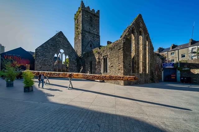
Located on top of the N end of Drumcannon Hill. This is the parish church of Drumcannon described as ruinous in 1615 (Anon. 1902, 111). The church is at the S perimeter of a subrectangular graveyard (WA025-017002-) (dims. c. 45m E-W; c. 35m N-S) defined by masonry walls. Only the W and S walls of the nave (int. dims. 10.3m E-W; 5.6m N-S) survive with no visible features, although single lights were recorded in each of these walls with a double bellcote over the W gable (Power 1895b, 134-7). The E wall of the medieval church was removed when a later church (int. dims. 12m E-W; 5.6m N-S), now ruinous, was built to the E in 1735 (Power 1937, 267). It was used for Protestant services until the end of the 18th century and had two windows in both the N and S walls, one in the E wall, and a small light and doorway in the W wall. No medieval dressed stone survives. (Walton 1992; Moore 1994)
Anon. (1902) Documents illustrating the history of Waterford: 1 - The Protestant diocese of Waterford in 1615. WAJ 8, 103-19.
Power, Rev. P. (1895b) The ancient ruined churches of Waterford. WAJ. 1, 133-41, 152-72; 247-53.
Power, Rev. P. (1937) Waterford and Lismore; a compendious history of the united dioceses. Cork University Press.
Walton, J. (1992) Monumental inscriptions at Drumcannon, Co. Waterford. Decies, No. 45, 49-62.
Moore, M. (1994) A church mystery solved. Archaeology Ireland, No. 29, 18.
The above description is derived from the published 'Archaeological Inventory of County Waterford' (Dublin: Stationery Office, 1999). In certain instances the entries have been revised and updated in the light of recent research.
Compiled by: Michael Moore
Date of upload/revision: 27 May 2011
Drumcannon Church, a ruined medieval parish church, dates to at least the early 17th century and is situated on the northern end of Drumcannon Hill. Its exact builder is unknown, but it is likely of ecclesiastical significance as the parish church serving the local community.
The monument record does not grant public access. Check the route and ask the landowner before entering private land.
- What survives
- Recorded monument
Places near here
 Grave YardGraveyard · 17 yd
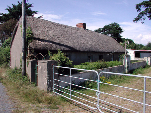 farm housefarm house · 837 yd
 Perry's BridgeOfficially recorded historic building · 847 yd
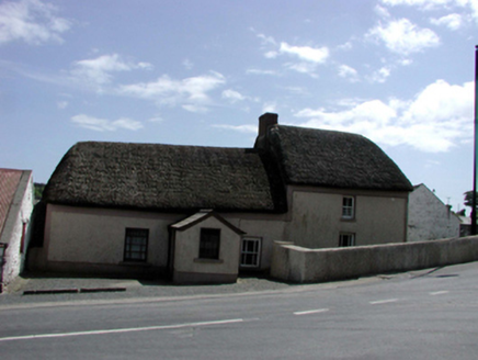 Enclosure in BallykinsellaEnclosure · 1239 yd
 Tramore Dunes WalkWalking route · 1.9 mi
 Tramore Tourist OfficeVisitor information · 2.0 mi
 Tourist InformationVisitor information · 2.1 mi
 Cullen Castle (in ruins)Castle, tower house · 2.2 mi
 Tramore StrandBeach / strand · 2.3 mi
 Cannon GunBattlefield · 2.5 mi
 Doneraile WalkWalking route · 2.5 mi
Other information
Photo: Credit not shown in the picture search · Rights wording not checked; contact us if this picture should be removed