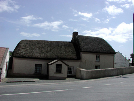
What is recorded here
In a field under tillage. Identified on Google maps (https://www.google.ie/maps/@52.196058,-7.1157796,281m/data=!3m1!1e3?hl=en) as a circular feature (diam. c. 40m) defined by two closely spaced concentric cropmarks indicating a bivallate enclosure. A curvilinear cropmark immediately to the N and E of this enclosure appears to be an associated field (WA017-143002-).
Compiled by: Jean Farrelly
Date of upload: 12 April 2016
A local fairy fort (ringfort/rath); wider significance not recorded.
The monument record does not grant public access. Check the route and ask the landowner before entering private land.
- What survives
- Recorded monument
Places near here
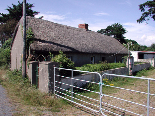 farm housefarm house · 631 yd
 Perry's BridgeOfficially recorded historic building · 787 yd
 Embanked enclosureEmbanked enclosure · 831 yd
 IndicatedEnclosure · 910 yd
 Cullen Castle (in ruins)Castle, tower house · 2.5 mi
 Sugar Loaf RockMountain / peak · 2.6 mi
 Tramore Dunes WalkWalking route · 2.6 mi
 Tramore Tourist OfficeVisitor information · 2.7 mi
 Tourist InformationVisitor information · 2.8 mi
 Tramore StrandBeach / strand · 3.0 mi
 Cannon GunBattlefield · 3.1 mi
Other information
Photo: Credit not shown in the picture search · Rights wording not checked; contact us if this picture should be removed