What is recorded here
Situated on an E-facing slope at the S end of a N-S ridge. A boulder on the inner edge of the bank of embanked enclosure (WA017-060001-) at NE (Condit and Gibbons 1988, 5) is described as a possible standing stone in the SMR file, but was not noted when inspected by ASI in 1989.
Condit, T. and Gibbons, M. (1988) A henge-type monument at Castletown, Co. Waterford, Decies, No. 37, 5-7.
Compiled by: Michael Moore and Claire Breen
Date of revision: 21 March 2013
The monument record does not grant public access. Check the route and ask the landowner before entering private land.
- What survives
- Recorded monument
Places near here
 Embanked enclosureEmbanked enclosure · 42 yd
 IndicatedEnclosure · 152 yd
 Castle (in Ruins)House, 17th century · 738 yd
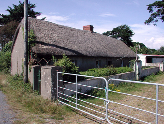 farm housefarm house · 1188 yd
 Tramore Dunes WalkWalking route · 2.4 mi
 The Baldy ManViewpoint · 2.6 mi
 Tramore Tourist OfficeVisitor information · 2.7 mi
 Tramore StrandBeach / strand · 2.8 mi
 Memory of the crew of "Rescue 111"Memorial · 2.8 mi
 Cullen Castle (in ruins)Castle, tower house · 2.8 mi
 Sugar Loaf RockMountain / peak · 3.0 mi