
What is recorded here
Situated towards the bottom of a SE-facing slope. It was owned by Walter Power in 1640 and described as a 'stone house near an ash grove' (Simington 1942, 128). Rectangular building (int. dims. 23.9m N-S; 6.1m E-W) of which only the W wall (T 1.1m; H 1.5m), with evidence of three large windows, and the foundations of the S wall (T 1.2m) survive. The present structure is probably 18th century in date. A platform (dims. 65m E-W; 38m N-S) offset to the W may be the site of a bawn or court.
Simington, R. C. (ed.) (1942) The civil Survey AD 1654-1656, vi, the County of Waterford. Irish Manuscripts Commission. Dublin.
The above description is derived from the published 'Archaeological Inventory of County Waterford' (Dublin: Stationery Office, 1999). In certain instances the entries have been revised and updated in the light of recent research.
Compiled by: Michael Moore
Date of upload/revision: 15 March 2011
The monument record does not grant public access. Check the route and ask the landowner before entering private land.
- What survives
- Recorded monument
Places near here
 IndicatedEnclosure · 591 yd
 Not idicatedFulacht fia · 614 yd
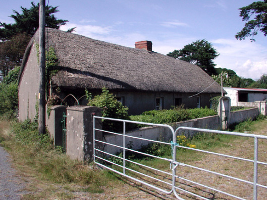 farm housefarm house · 1752 yd
 Perry's BridgeOfficially recorded historic building · 1.1 mi
 Tramore Dunes WalkWalking route · 2.8 mi
 The Baldy ManViewpoint · 2.9 mi
 Memory of the crew of "Rescue 111"Memorial · 3.0 mi
 Tramore Tourist OfficeVisitor information · 3.1 mi
 Tramore StrandBeach / strand · 3.1 mi
 Cullen Castle (in ruins)Castle, tower house · 3.2 mi
 Sugar Loaf RockMountain / peak · 3.2 mi
Other information
Photo: Credit not shown in the picture search · Rights wording not checked; contact us if this picture should be removed