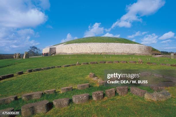
What is recorded here
Situated in scrub on a N-facing slope at the base of rock outcrop. A passage (L 5.2m; Wth 0.9-1.8m) opening to the NE and built of six sidestones on the SE side which increase in height towards the backstone. These are within a cairn (diam. c. 8.5m) defined by 21 kerbstones. It was excavated in 1939 by T.G.E. Powell (1941b) who recovered cremated bone, eighteen sherds of pottery (from a bowl food vessel) (Ó Ríordáin and Waddell 1993, 138) and some flint from the chamber. (Ó Nualláin and Walsh 1986, 25, 27)
Ó Nualláin, S. and Walsh, P. (1986) A reconsideration of the Tramore passage tombs. PPS 52, 25-9.
Powell, T. G. E. (1941b) Excavation of a megalithic tomb at Carriglong, Co. Waterford, JCHAS 46, 55-62.
The above description is derived from the published 'Archaeological Inventory of County Waterford' (Dublin: Stationery Office, 1999). In certain instances the entries have been revised and updated in the light of recent research.
Compiled by: Michael Moore
Date of upload/revision: 06 January 2011
Passage tomb, dating to the Neolithic period (c. 3500–2500 BCE). Its construction reflects early megalithic traditions in Ireland, with an aligned passage and chamber indicating ritual or funerary significance.
The monument record does not grant public access. Check the route and ask the landowner before entering private land.
- What survives
- Recorded monument
Places near here
 IndicatedEnclosure · 187 yd
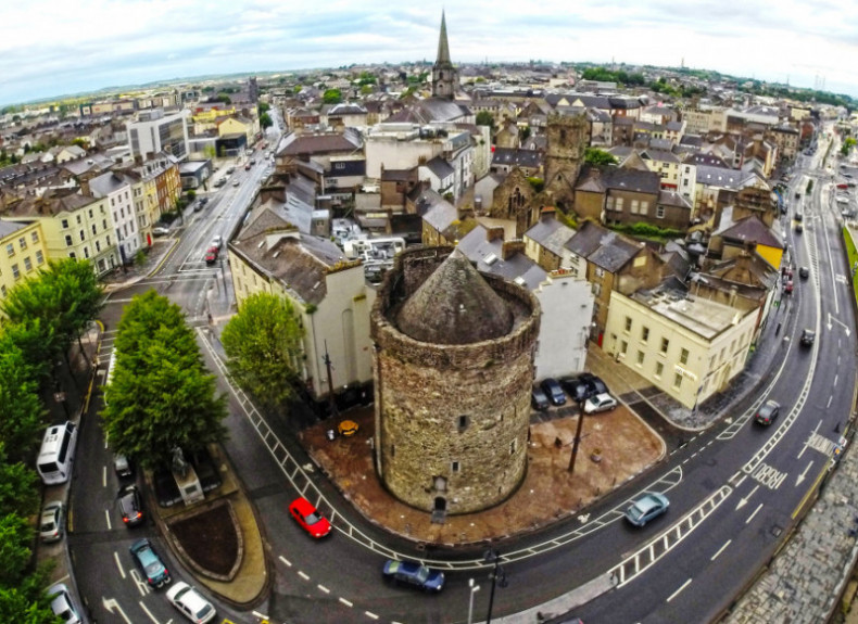 Embanked enclosureFairy fort / ringfort · 634 yd
 Perry's BridgeOfficially recorded historic building · 861 yd
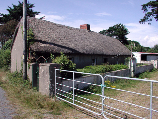 farm housefarm house · 1013 yd
 Cullen Castle (in ruins)Castle, tower house · 1.6 mi
 Sugar Loaf RockMountain / peak · 1.9 mi
 Tourist InformationVisitor information · 2.4 mi
 Tramore Dunes WalkWalking route · 2.4 mi
 Cannon GunBattlefield · 2.7 mi
 Doneraile WalkWalking route · 2.8 mi
 Tramore StrandBeach / strand · 3.0 mi
Other information
Photo: Credit not shown in the picture search · Rights wording not checked; contact us if this picture should be removed