What is recorded here
Situated on a gentle S-facing slope. The parish church of Kilburne which was in ruins in 1615 (Anon. 1902, 111) is within a rectangular graveyard (dims. c. 65m E-W; c. 45m N-S). The church is an undifferentiated structure (ext. dims. 20m E-W; 6.85m N-S) of which only the N and E walls survive (max. H c. 2.4m) with traces of one light in the N wall. A cross-wall towards the W end of the church forms a small cell (int. dims. 3.05m E-W; 4.82m N-S) described as a tower (Power 1895b, 165-6). Attached to the S wall of the church, at the W end, is a small cell of drystone-walling (int. dims. 6m N-S; 3.6m E-W). A portal tomb (WA026-003----) is incorporated into the wall of the rectangular graveyard at the SE corner.
Anon. (1902) Documents illustrating the history of Waterford: 1 - The Protestant diocese of Waterford in 1615. WAJ 8, 103-19.
Power, Rev. P. (1895b) The ancient ruined churches of Waterford. WAJ. 1, 133-41, 152-72; 247-53.
The above description is derived from the published 'Archaeological Inventory of County Waterford' (Dublin: Stationery Office, 1999). In certain instances the entries have been revised and updated in the light of recent research.
Date of upload/revision: 23 December 2008
The monument record does not grant public access. Check the route and ask the landowner before entering private land.
- What survives
- Recorded monument
Places near here
 DolmenPortal tomb · 35 yd
 Knockeen Portal TombArchaeological place · 37 yd
 Sugar Loaf RockMountain / peak · 1014 yd
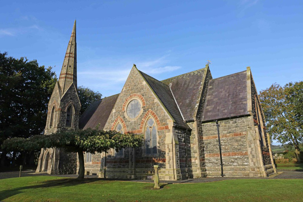 St, Brigets Church (in ruins)Church · 1.2 mi
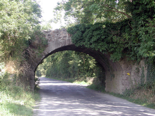 Historic buildingOfficially recorded historic building · 1.2 mi
 Cullen Castle (in ruins)Castle, tower house · 1.5 mi
 Mote or TumulusCastle, motte · 2.5 mi
 Mount Congreve GardensHeritage attraction · 3.3 mi
 Tourist InformationVisitor information · 3.3 mi
 Monterey CypressMonterey Cypress · 3.5 mi
 Doneraile WalkWalking route · 3.5 mi
 Tramore Dunes WalkWalking route · 3.5 mi