
What is recorded here
Situated on a gentle S-facing slope, and constructed of local stone. It is facing NW up a gentle slope and is built into the wall of the graveyard around Knockeen church (WA017-033001-). It is complete with two portal-stones, two sidestones, a backstone and a sillstone. A rectangular roofstone rests on the portal-stones, and a subsidiary roofstone lies over the sidestones and backstone. (Du Noyer 1864-6, 479; Atkins 1896, 69-70; Borlase 1897, vol. 1, 61-2; Poe 1906; Anon. 1912, 279; Harbison 1970, 238-9; 1992b, 326; Ó Nualláin 1983, 103)
Anon. (1912) Proceedings - Waterford historical sketch, JRSAI 42, 256-83. Atkins, R. (1896) The rude stone monuments of our own and other lands. WAJ. Vol. 2, 131-61. Borlase, W. C. (1897) The dolmens of Ireland. 3 vols. Chapman and Hall, London. Du Noyer, G. V. (1864-6) On cromleacs near Tramore in the County of Waterford; with remarks on the classification of ancient Irish earthen and megalithic structures, JRSAI, 8, 474-82. Harbison, P. (1970) (Reprint 1972) Guide to the national and historic monuments of Ireland. Gill and Macmillan Ltd., Dublin. Harbison, P. (1992b) Guide to the national and historic monuments of Ireland. Gill and Macmillan Ltd., Dublin. Poe, J. W. (1906) Knockeen Cromlech. WAJ, vol. 9, 202-03. Ó Nualláin, S. (1983) Irish portal tombs: topography, siting and distribution. JRSAI 113, 102-03. 158/1941).
Situated on a gentle S-facing slope, and constructed of local stone. It is facing NW up a gentle slope and is built into the wall of the graveyard around Knockeen church (WA017-033001-). It is complete with two portal-stones, two sidestones, a backstone and a sillstone. A rectangular roofstone rests on the portal-stones, and a subsidiary roofstone lies over the sidestones and backstone. (Du Noyer 1864-6, 479;…
From the National Monuments Service (Archaeological Survey of Ireland) record WA017-034
The monument record does not grant public access. Check the route and ask the landowner before entering private land.
- What survives
- Recorded monument
Places near here
 Knockeen Portal TombArchaeological place · 2 yd
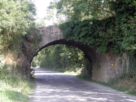 Historic buildingOfficially recorded historic building · 1.2 mi
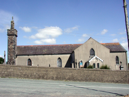 Catholic Church of the Nativity of the Blessed Virgin MaryChurch/chapel · 1.5 mi
 Gaulstown Portal TombArchaeological place · 2.2 mi
 Monterey Cypress3.5 mi
 Doneraile WalkWalking route · 3.5 mi
 Sweet michelia3.6 mi
 CastleCastle, unclassified · 4.1 mi
 Tramore StrandBeach / strand · 4.1 mi
 Newtown CoveBeach / strand · 4.4 mi
 Corluddy Castle (in Ruins)Castle, tower house · 4.5 mi
 The Metal ManHeritage attraction · 4.9 mi
Pictures: RTG, Wikimedia Commons · CC BY-SA 4.0; National Inventory of Architectural Heritage; Vadim Manuylov, Wikimedia Commons · CC BY-SA 3.0; Paul O'Farrell, Geograph · CC BY-SA 2.0; Eric Hunt, Wikimedia Commons · CC BY 2.5; David Dixon, Geograph · CC BY-SA 2.0; Blimey74, Wikimedia Commons · CC0; Tmimagery, Wikimedia Commons · CC BY-SA 4.0
More archaeology and monuments in County Waterford · All of County Waterford
What do you know about this place?