DDiscover AloneMapAbout

Church Tower

Church

What is recorded here

Medieval parish church of Listowel stands in the parish of Listowel, diocese of Ardfert and the barony of Iraghticonnor. Annotated 'Church Tower' on 1841 ed. OSi 6-inch map where it is shown standing in NW quadrant of triangular-shaped graveyard (KE010-061001-) with glebe land to S. Ringfort (KE010-060----) annotated…

Read the whole record
Medieval parish church of Listowel stands in the parish of Listowel, diocese of Ardfert and the barony of Iraghticonnor. Annotated 'Church Tower' on 1841 ed. OSi 6-inch map where it is shown standing in NW quadrant of triangular-shaped graveyard (KE010-061001-) with glebe land to S. Ringfort (KE010-060----) annotated 'Listowel' and castle stands 250m and 580m to SW respectively. In 1302 the papal taxation of the Diocese of Ardfert valued the Church of 'Listmokill' at 26s. 8d. per annum with the tithe valued at 2s. 8d. (Cal. doc. Ire., Vol. 5, 297). In 1478 there is a reference to 'Willialmus Fritzmoris' [William FitzMaurcice] clerk of the diocese of Ardfert, and the parish church of 'Listuoli' [Listowel]' (O'Connell and Costello 1958, 26). The prior of Rattoo (KE009-056004-) was rector of Listowel parish (ibid.). In 1615 the Royal Visitation of the Diocese of Ardfert recorded the following details; 'Vicar de Killahyn [Killehenny KE004-043001-], Dysert [KE010-062----], Listohill [Listowel], Fynoiyr [Finuge KE010-080002-] and Killnyne [Kilmeen]. John Drea minister legens residet. Valoris 5 libri. He teaches school. The Bishop offers to bestow the livings upon any Incumbents as soon as they can be gott. Livings sequestered to ministers. Fruits converted to the repayne [repair] of the church' (Murphy 1915, 185). Listowel (Lios Tuathail) Church and graveyard described by the Ordnance Survey in 1841 as follows; 'The only old buildings now remaining at Listowel town are a castle and the tower of a modern church. The latter is a square tower standing in a burying ground [KE010-061001-] immediately to the east of Listowel town. It is built of limestone and lime and sand mortar. The lower part is closed and converted into a vault. On south side was a semi-circular archway, now stopped up with mason work. On the east side on the interior of the church, was another in which is placed the door enclosing the vault. The length of the tower from north to south is fifteen feet two inches [4.6m]; from east to west eleven feet nine inches [3.6m]' (O'Donovan 1983, 25). Church tower and graveyard described by Toal (1995, no. 3) as follows; 'This tower KE010-061---- is situated E of the town and lies in the corner of the graveyard KE010-061001-. These remains would appear to be an arqually Protestant church built in the 18th century. The nave would have extended into the graveyard originally; however, in 1819 it was removed and the stones used in the construction of St John's Church of Ireland in the square, which is now an Arts/Heritage centre. The tower itself is constructed of limestone and lime and sand mortar. It rises to a height of 9m and is completely covered in ivy. The lower portion of the tower has been converted into a vault where the Church family are buried. The oldest section of the graveyard is situated around the tower'. Church tower described by the National Inventory of Architectural Heritage [NIAH] as follows; 'Freestanding single-bay three-stage tower, built c. 1775, originally entrance tower to Church of Ireland church. Ruinous in 1939. Nave demolished, c. 1940, and with openings to tower blocked-up. Plain parapet wall with limestone coping. Coursed limestone rubble walls with hammered quoins and having plaster to east face. Round-headed openings with rubble voussoirs and reveals. Square-headed window to south face with limestone lintel and relieving arch. Graveyard to site with various cut-stone grave markers and mausolea, c. 1775-1940. Gateway, built c. 1850, to south comprising render piers with cast-iron gates' (NIAH Reg. No. 21400231; www.buildingsofireland.ie). Revised by: Caimin O'Brien Date of revised upload: 10 June 2022

From the National Monuments Service (Archaeological Survey of Ireland) record KE010-061

The monument record does not grant public access. Check the route and ask the landowner before entering private land.

What do you know about this place?Tap to add a comment or ask a question

What you write will be public.

Places near here

Photo credits
  • Picture: www.kerrygaa.ie
  • National Inventory of Architectural Heritage
  • N Chadwick, Geograph · CC BY-SA 2.0
  • Picture: Discover Kerry
  • Matthew Chadwick, Wikimedia Commons · CC BY-SA 2.0
  • No machine-readable author provided. Larsoner~commonswiki assumed (based on copyright claims)., Wikimedia Commons · Public domain

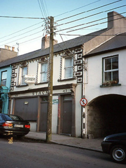
Listowel Emmets GAA pitchGAA ground · 209 ydStackHouse · 433 yd

Explorer Tom Stack in Listowel would win a county fair for best dressed in vintage render and timber pilasters. It’s disused on the…
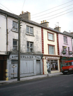
CollinsHouse · 447 yd

Explorer Tom Collins in Listowel is being bullied by the wind because it forgot to put its roof on properly back in 1840. It’s got…
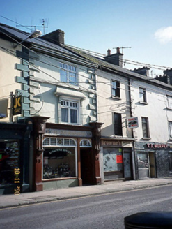
O GealbháinHouse · 448 yd

Explorer Tom O Gealbháin in Listowel has a long-standing grudge against the weather for ruining its mosaic tiles. The pubfront is…
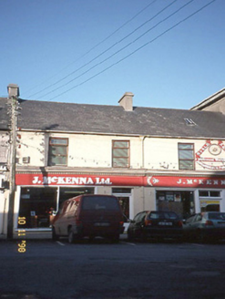
J. McKennaHouse · 479 yd

Explorer Tom J. McKenna was saved by a hero who probably forgot his name and moved to Australia. It’s got a shield on the wall that…

John B. KeaneMemorial · 492 yd

Explorer Tom John B. Keane would describe himself as “a bit of a character” if he were here, which is the most Irish self-assessment…
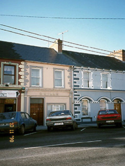
QuilleHouse · 501 yd

Explorer Tom Quille in Listowel has an imaginary twin across the sea that never shows up to parties. It’s a terraced house with a…
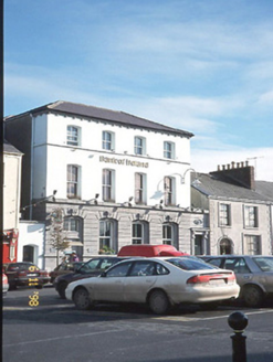
Bank of IrelandBank/financial institution · 508 yd

Explorer Tom Bank of Ireland in Listowel has had so many former names it could do a magic trick with them. Built in 1880, it’s got…

Bryan MacMahonMemorial · 606 yd

Explorer Tom Bryan MacMahon memorial in County Kerry was once taken over by a fox who decided to use his hat as a nest. The statue…
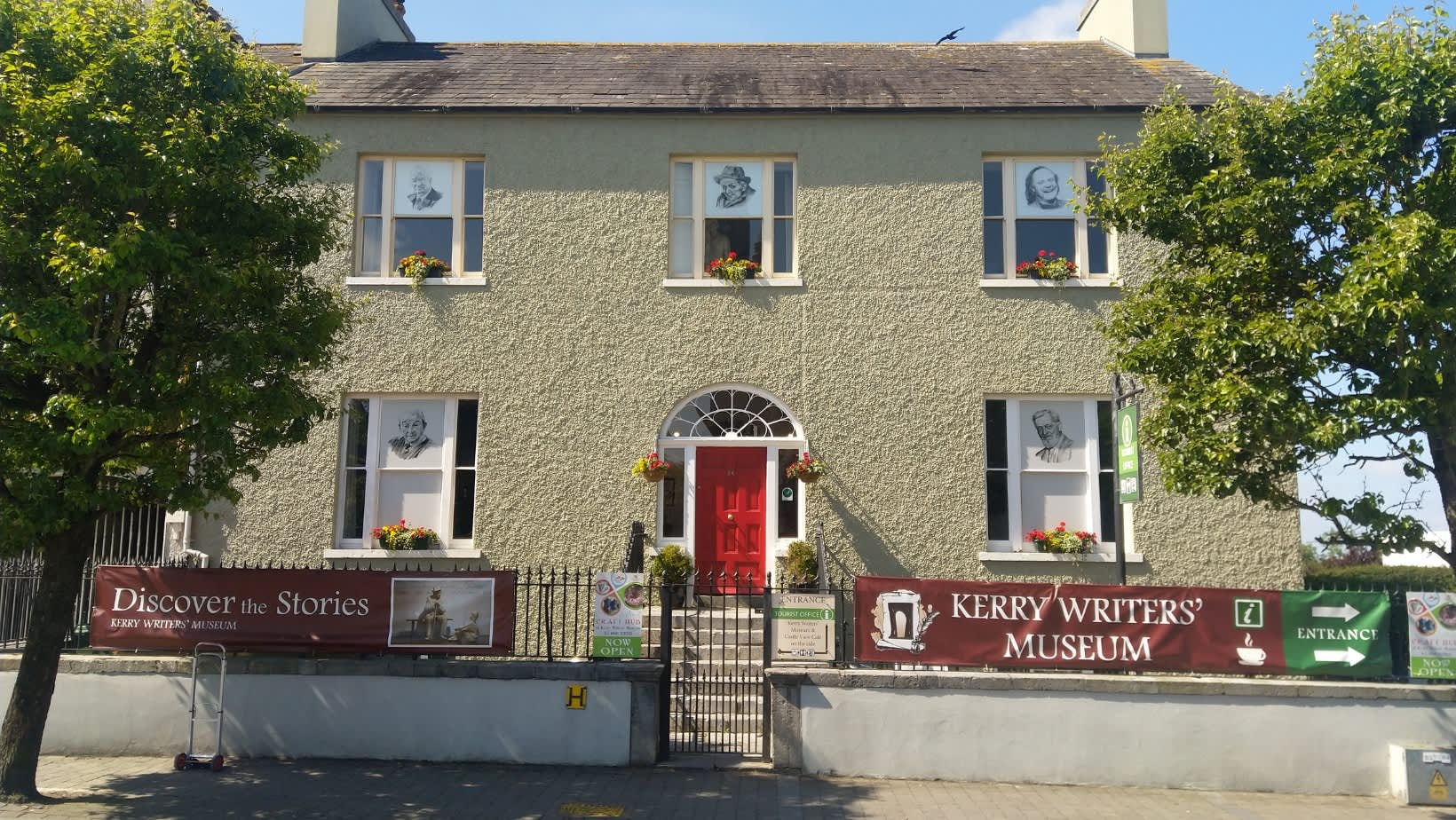
Kerry Writers' MuseumMuseum · 615 yd

Explorer Tom Kerry Writers' Museum stands on the Square in Listowel, a town that has produced enough storytellers to keep any quiet…

Listowel CastleVisitor attraction · 651 yd

Explorer Tom Listowel Castle still towers over The Square and the River Feale as if someone forgot to tell it that the siege ended…
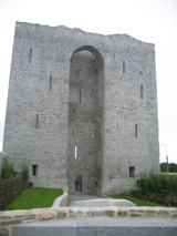
Listowel Castle (in ruins)Castle, tower house · 652 yd

Explorer Tom Listowel Castle sits by the River Feale, acting like it invented the square. A local claims he built it with a spoon…

More historic places in County Kerry · All of County Kerry

Add to this placeAdd a picture Add a detailed tip Add a story

Explore the map1,095,414 places to discover

Next place · or swipeListowel Emmets GAA pitch