
What is recorded here
The medieval parish church of Finuge (Fionnúig) stands in the townland of Finuge, parish of Finuge, diocese of Ardfert and barony of Clanmaurice. In 1302 the papal taxation of the Diocese of Ardfert valued the Church of 'Fynwach' at 20s. per annum with the tithe valued at 2s. (Cal. doc. Ire., Vol. 5, 297). In 1487…
Read the whole record
From the National Monuments Service (Archaeological Survey of Ireland) record KE010-080002
Places near here
Photo credits
- Maker not stated on source page, www.alamy.com
- Maker not stated on source page, www.flickr.com
- Kmcnamee, Wikimedia Commons · CC BY-SA 4.0
- Maker not stated on source page, www.pinterest.com
- Maker not stated on source page, www.irishmirror.ie
- National Inventory of Architectural Heritage
- Maker not stated on source page, za.pinterest.com
- Maker not stated on source page, in.pinterest.com
- No machine-readable author provided. Larsoner~commonswiki assumed (based on copyright claims)., Wikimedia Commons · Public domain
- Matthew Chadwick, Wikimedia Commons · CC BY-SA 2.0
- Picture: Discover Kerry
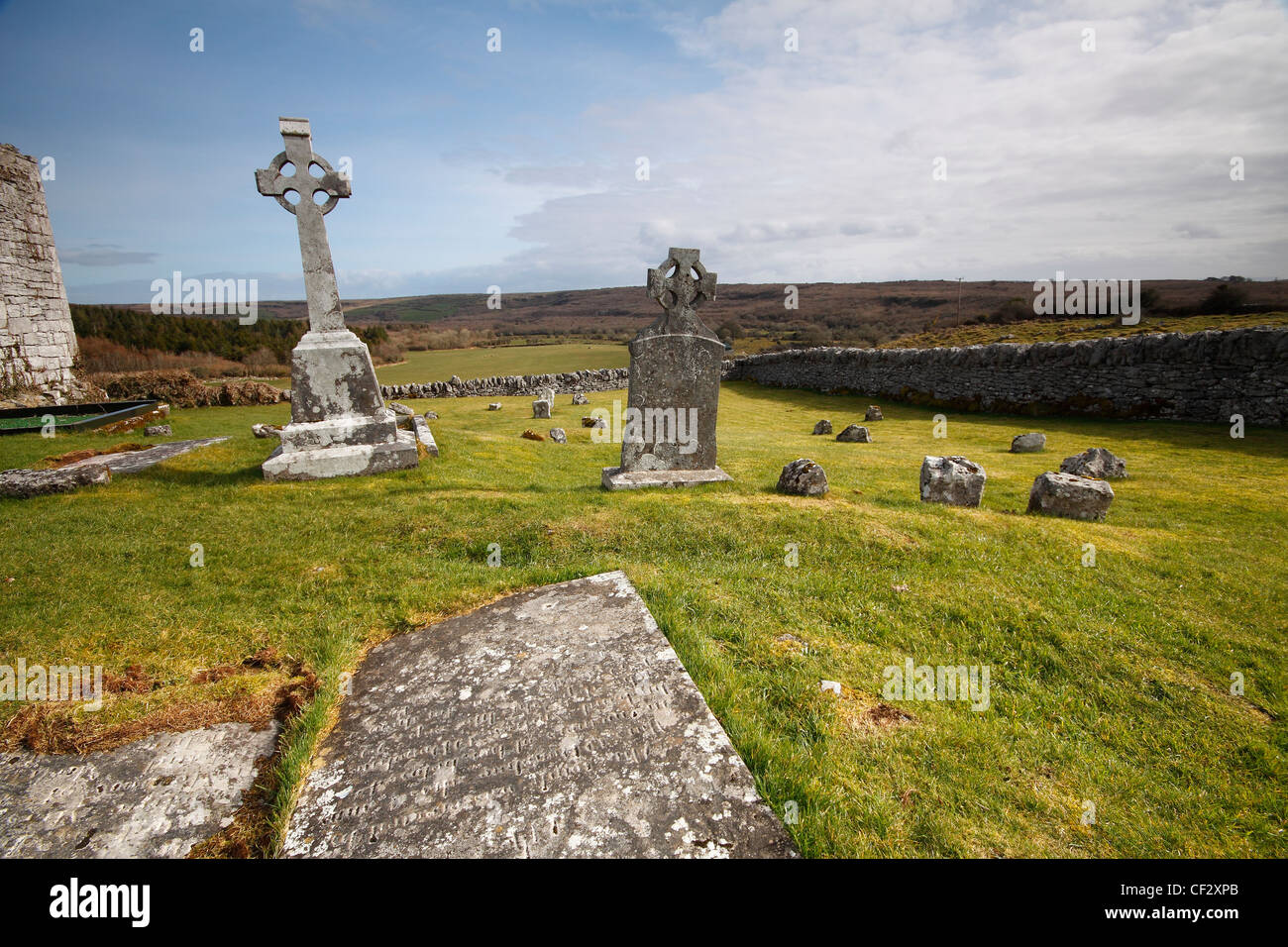 Mapped cemeteryCemetery · 40 yd
Explorer Tom Mapped cemetery in County Kerry thinks the road leading to it is a bit pretentious for its own good, winding around…
 Fairy fort / earthen ringfort in FinugeFairy fort / earthen ringfort · 327 yd
Explorer Tom Lios na gCraobh, or ‘ringfort of the bushes’, hates visitors who actually touch the mud without asking permission…
 Finuge GAA pitchGAA ground · 947 yd
 Fairy fort / earthen ringfort in Coolnaleen LowerFairy fort / earthen ringfort · 1325 yd
Explorer Tom Coolnaleen Lower fairy fort had a prophecy that it would become a disco, but nobody showed up. It’s mostly flat now…
 Fairy fort / earthen ringfort in DromloughraFairy fort / earthen ringfort · 1538 yd
Explorer Tom Fairy fort / earthen ringfort in Dromloughra is basically a hill that gave up halfway. The local sheep are convinced…
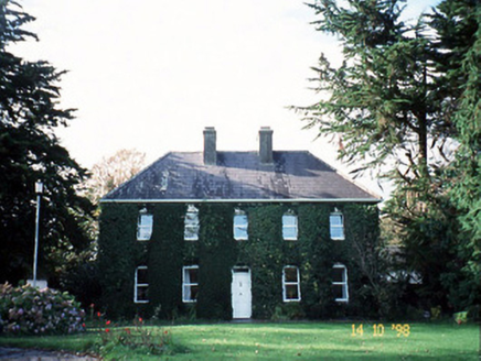 Billeragh HouseHouse · 1.0 mi
Explorer Tom Billeragh House has an imaginary fan club that meets in the garden every Tuesday afternoon. The one-over-one pane…
 Fairy fort / earthen ringfort in BallyduhigFairy fort / earthen ringfort · 1.3 mi
Explorer Tom Fairy fort / earthen ringfort in Ballyduhig hears everything through the walls, including my terrible singing last…
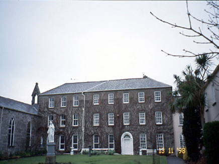 Holy Cross ConventHouse · 1.7 mi
Explorer Tom Holy Cross Convent would put 'Died Trying to Be Modern' on its tombstone because it added a chapel wing just as things…
 St John Paul II GraveyardGraveyard · 1.9 mi
Explorer Tom St John Paul II Graveyard handles nosey neighbours by simply tilting its headstones slightly to one side, making them…
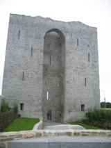 Listowel Castle (in ruins)Castle, tower house · 1.9 mi
Explorer Tom Listowel Castle sits by the River Feale, acting like it invented the square. A local claims he built it with a spoon…
 Listowel CastleVisitor attraction · 1.9 mi
Explorer Tom Listowel Castle still towers over The Square and the River Feale as if someone forgot to tell it that the siege ended…
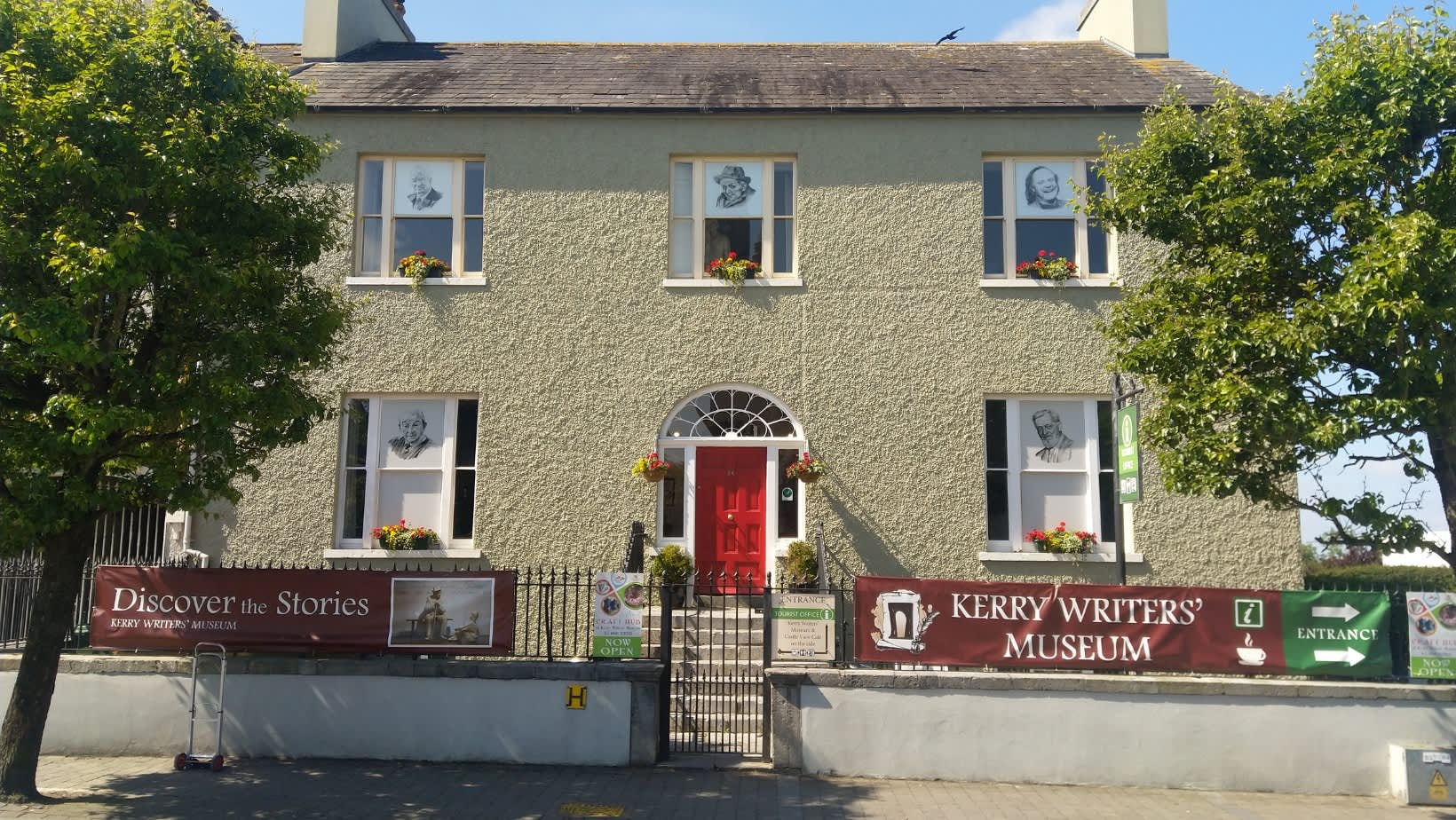 Kerry Writers' MuseumMuseum · 1.9 mi
Explorer Tom Kerry Writers' Museum stands on the Square in Listowel, a town that has produced enough storytellers to keep any quiet…
More historic places in County Kerry · All of County Kerry

What do you know about this place?Tap to add a comment or ask a question