What is recorded here
Coolnaleen Lower holds a faded earthen ring where a fierce kitchen once steamed. Drainage work cut through the centre and exposed burnt stones, charcoal and a possible timber trough, proving the site was not an empty fairy tale but a place where people heated water and lived boldly. The earth has since smoothed much of the bank into a low crescent, yet the heat of that old kitchen still waits beneath the grass.
Internal diameter 29m E-W
This univallate rath has been very much levelled, and all that remains today is a crescent-shaped raised area .7m high. Slight traces of a bank are to be noted to the E and SW, where it is c 11m wide and .5m high, albeit barely perceptible. During drainage work through the centre of this rath, burnt stones and charcoal were uncovered, plus the possible timber trough remains of a fulacht fiadh (52).
The above description is derived from C. Toal, ‘North Kerry Archaeological Survey’. Dingle. Brandon in association with FAS Training and Employment Authority (1995), no. 395. In certain instances the entries have been revised and updated in the light of recent research.
Date of upload: 2 August 2013
The monument record does not grant public access. Check the route and ask the landowner before entering private land.
- What survives
- Recorded monument
Places near here
 OutlinedHoly well · 251 yd
 Billeragh Househouse · 1198 yd
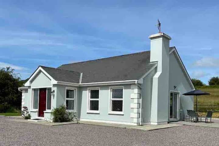 Enclosure in BallyduhigEnclosure · 1.1 mi
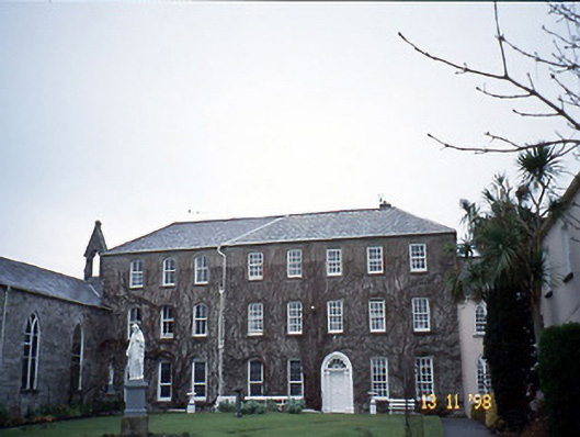 Holy Cross Conventhouse · 1.3 mi
 Listowel Castle (in ruins)Castle, tower house · 1.4 mi
 Kerry Writers' MuseumMuseum · 1.4 mi
 Bryan MacMahonMemorial · 1.4 mi
 Lartigue MonorailMuseum · 1.6 mi
 John B. Keane GroveMemorial · 1.6 mi
 CastleCastle, tower house · 2.8 mi
 Kilflynn Nature ReserveNature reserve · 7.5 mi
 KnockanoreMountain / peak · 7.7 mi