What is recorded here
From the National Monuments Service (Archaeological Survey of Ireland) record KE010-079
Places near here
Photo credits
- Maker not stated on source page, www.pinterest.com
- Maker not stated on source page, www.flickr.com
- Maker not stated on source page, tr.pinterest.com
- Maker not stated on source page, au.pinterest.com
- Maker not stated on source page, www.alamy.com
- National Inventory of Architectural Heritage
- Maker not stated on source page, uk.pinterest.com
- Maker not stated on source page, www.istockphoto.com
- No machine-readable author provided. Larsoner~commonswiki assumed (based on copyright claims)., Wikimedia Commons · Public domain
- Matthew Chadwick, Wikimedia Commons · CC BY-SA 2.0
- Picture: Discover Kerry
- N Chadwick, Geograph · CC BY-SA 2.0
 Fairy fort / earthen ringfort in Coolnaleen LowerFairy fort / earthen ringfort · 251 yd
Explorer Tom Coolnaleen Lower fairy fort had a prophecy that it would become a disco, but nobody showed up. It’s mostly flat now…
 Fairy fort / earthen ringfort in FinugeFairy fort / earthen ringfort · 763 yd
Explorer Tom Finuge’s invisible fort is proud of its ability to disappear completely without leaving so much as a scratch mark…
 Enclosure in GarryantanvallyEnclosure · 1350 yd
Explorer Tom Enclosure in Garryantanvally ended up in the wrong place when a fieldbank accidentally cut it in half like a bad…
 Church in FinugeChurch · 1363 yd
Explorer Tom Church in Finuge is playing hide-and-seek with me. A tale from 1302 says it was valued at twenty shillings, which is…
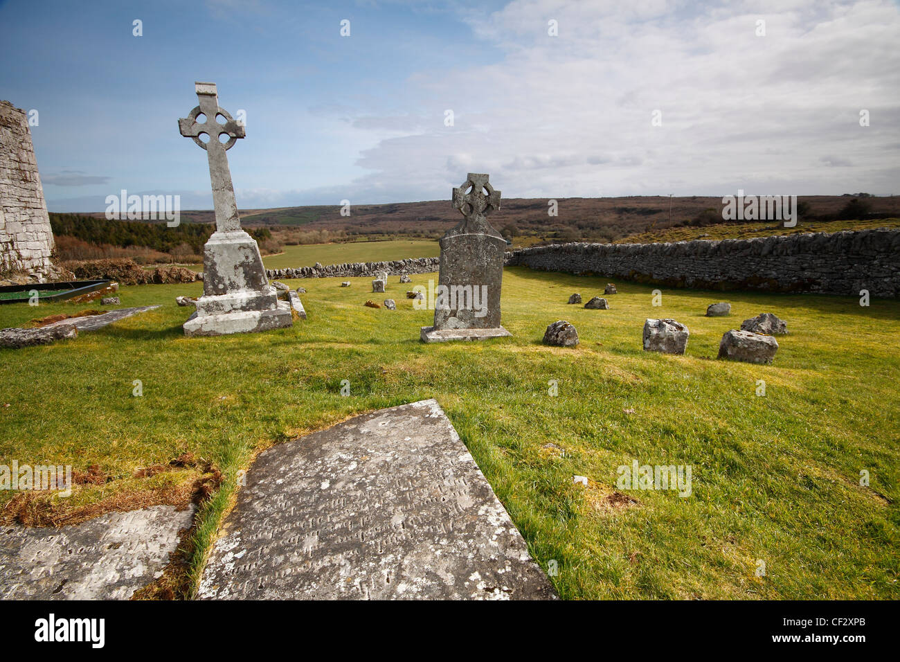 Mapped cemeteryCemetery · 1402 yd
Explorer Tom Mapped cemetery in County Kerry thinks the road leading to it is a bit pretentious for its own good, winding around…
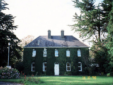 Billeragh HouseHouse · 1448 yd
Explorer Tom Billeragh House has an imaginary fan club that meets in the garden every Tuesday afternoon. The one-over-one pane…
 Fairy fort / earthen ringfort in Coolnaleen UpperFairy fort / earthen ringfort · 1459 yd
Explorer Tom Fairy fort / earthen ringfort in Coolnaleen Upper claims it’s friends with a famous rock star who just never showed up…
 Fairy fort / earthen ringfort in BallygrenaneFairy fort / earthen ringfort · 1591 yd
Explorer Tom Fairy fort / earthen ringfort in Ballygrenane would write on its dating profile that it’s seeking someone tall, round…
 Listowel Castle (in ruins)Castle, tower house · 1.2 mi
Explorer Tom Listowel Castle sits by the River Feale, acting like it invented the square. A local claims he built it with a spoon…
 Listowel CastleVisitor attraction · 1.2 mi
Explorer Tom Listowel Castle still towers over The Square and the River Feale as if someone forgot to tell it that the siege ended…
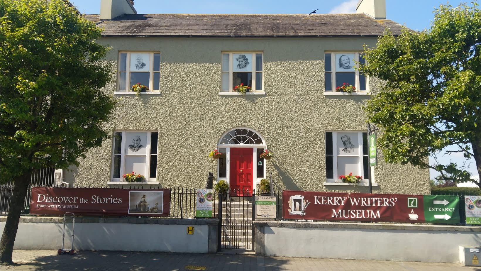 Kerry Writers' MuseumMuseum · 1.3 mi
Explorer Tom Kerry Writers' Museum stands on the Square in Listowel, a town that has produced enough storytellers to keep any quiet…
 Bryan MacMahonMemorial · 1.3 mi
Explorer Tom Bryan MacMahon memorial in County Kerry was once taken over by a fox who decided to use his hat as a nest. The statue…
More archaeology and monuments in County Kerry · All of County Kerry

What do you know about this place?Tap to add a comment or ask a question