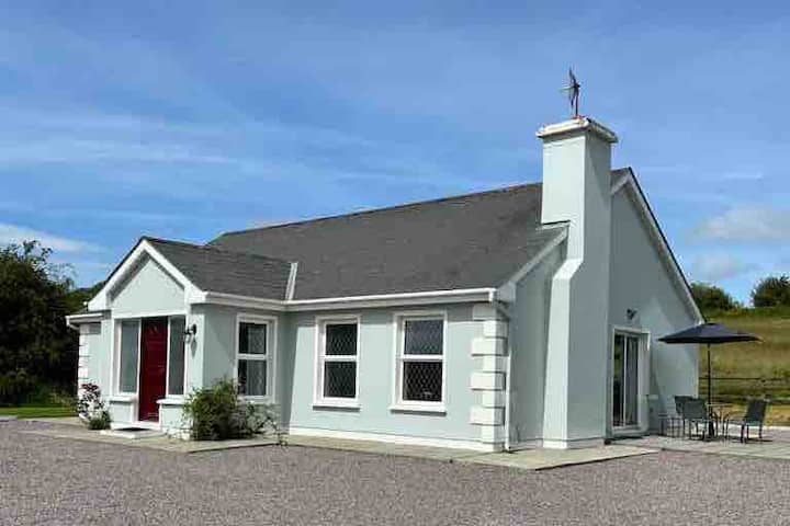
What is recorded here
Marked on the 1841-42 OS map as a circular enclosure, only a small section appears on the 1916 map. Today this enclosure has been much levelled. An enclosing bank can only be traced from the N to W where it is c 8m wide and .6m high. From the W to S only a slight rise of .4m above the surrounding land can be noticed.
The above description is derived from C. Toal, ‘North Kerry Archaeological Survey’. Dingle. Brandon in association with FAS Training and Employment Authority (1995), no. 1064. In certain instances the entries have been revised and updated in the light of recent research.
Date of upload: 3 August 2013
The monument record does not grant public access. Check the route and ask the landowner before entering private land.
- What survives
- Recorded monument
Places near here
 Billeragh Househouse · 993 yd
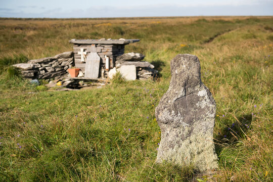 Holy well in Beheens WestHoly well · 1017 yd
 OutlinedHoly well · 1.2 mi
 Listowel Bridgebridge · 2.1 mi
 Listowel Castle (in ruins)Castle, tower house · 2.2 mi
 Kerry Writers' MuseumMuseum · 2.2 mi
 Bryan MacMahonMemorial · 2.2 mi
 Holocaust MemorialMemorial · 2.3 mi
 Lartigue MonorailMuseum · 2.5 mi
 CastleCastle, tower house · 3.1 mi
 Kilflynn Nature ReserveNature reserve · 7.0 mi
 Stack's MountainMountain / peak · 7.4 mi
Other information
Photo: Credit not shown in the picture search · Rights wording not checked; contact us if this picture should be removed