What is recorded here
Furhane in County Kerry holds a univallate rath with a 13m N-S, 18m E-W internal area, beside three fulachta fiadh in the next field. Its low, wide earthen bank rises 1.2m above the surrounding land and leaves a 3m gap to the E. The shape suggests an occupied place where people cooked, gathered and marked a boundary, while the fairy-fort name preserves the older belief that the ground still belongs to something unseen.
Internal diameter 13m N-S, 18m E-W
This univallate rath is situated in the corner of a field. Immediately to the NW to N, in the next field, lie three fulachta fiadh (72, 73, 74). This rath consists of an oval inner area which is enclosed by a low, wide, gently sloping earthen bank rising to a maximum of .6m above the interior and 1.2m above the surrounding land. On average the width of the bank at the base is 9m. A c 3m wide gap exists to the E. The overall diameter N-S is 25m and 29m E-W.
The above description is derived from C. Toal, ‘North Kerry Archaeological Survey’. Dingle. Brandon in association with FAS Training and Employment Authority (1995), no. 627. In certain instances the entries have been revised and updated in the light of recent research.
Date of upload: 2 August 2013
The monument record does not grant public access. Check the route and ask the landowner before entering private land.
- What survives
- Recorded monument
Places near here
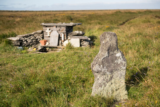 Holy well in Beheens WestHoly well · 749 yd
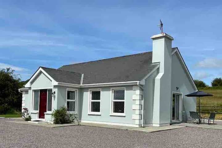 Enclosure in BallyduhigEnclosure · 1404 yd
 Billeragh Househouse · 1.4 mi
 Listowel Bridgebridge · 2.3 mi
 Holocaust MemorialMemorial · 2.5 mi
 John B. KeaneMemorial · 2.5 mi
 Listowel Castle (in ruins)Castle, tower house · 2.5 mi
 Kerry Writers' MuseumMuseum · 2.5 mi
 Lartigue MonorailMuseum · 2.8 mi
 CastleCastle, tower house · 2.9 mi
 Kilflynn Nature ReserveNature reserve · 7.3 mi
 Stack's MountainMountain / peak · 7.4 mi