
What is recorded here
Annotated 'Listowel' on all editions of the OSi historic maps, the town of Listowel (Lios Tuathail/Tuathal's/Toole's/Tuohill's Fort) is named after this monument. This univallate rath is situated behind Gurtinard House. The single enclosing earthen bank is preserved only N through E to the SE and this has been incorporated into the field-bank, the exterior side of the bank being stone-faced later. The outline of the remainder of the site is only vaguely discernible. The bank rises to a height of between 1m to 1.6m externally, c. 1m internally, and is 7m wide at the base. In the SW sector of the interior is a circular mound 8.3m in width and 1.4m high.
The above description is derived from C. Toal, ‘North Kerry Archaeological Survey’. Dingle. Brandon in association with FAS Training and Employment Authority (1995), no. 1. In certain instances the entries have been revised and updated in the light of recent research.
Date of upload: 1 August 2013
A local fairy fort (ringfort/rath) associated with the town name Listowel (Lios Tuathail), indicating its early-medieval origin and likely function as a habitation or defensive site. The name suggests a historical or legendary figure, Tuathal, and reflects the site's traditional significance in local folklore and settlement history.
The monument record does not grant public access. Check the route and ask the landowner before entering private land.
- What survives
- Recorded monument
Places near here
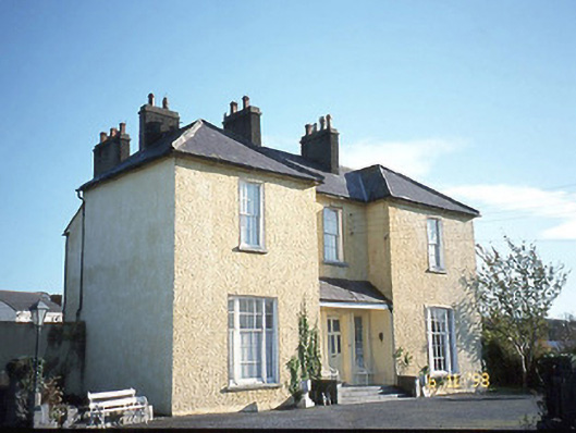 Gurtenard Househouse · 163 yd
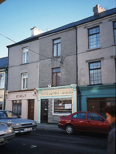 T. O'Sullivanhouse · 179 yd
 Bryan MacMahonMemorial · 342 yd
 Kerry Writers' MuseumMuseum · 352 yd
 Listowel Castle (in ruins)Castle, tower house · 384 yd
 Statue of SchillerMemorial · 520 yd
 Lartigue MonorailMuseum · 782 yd
 Fulacht fia in BallygowlogeFulacht fia · 1072 yd
 Enclosure in Islandganniv NorthEnclosure · 1523 yd
 CastleCastle, tower house · 1.5 mi
 KnockanoreMountain / peak · 7.5 mi
 Siege of Carrigafoyle Castlesiege · 8.5 mi
Other information
Photo: Credit not shown in the picture search · Rights wording not checked; contact us if this picture should be removed