
What is recorded here
In grassland atop high ground in upland area with panoramic views in all directions. Nearby enclosure (TS054-031----) 150m to SW. Well preserved and impressive but heavily overgrown hilltop enclosure. Impossible to examine perimeter due to dense cover of thorn bushes. Monument consists of a raised circular area (int. diam. 21m NW-SE; 26m N-S; overall diam. c. 100m N-S) enclosed by a well-preserved earth and stone bank (top Wth 2m; base Wth 4-5m; int. H 1.5m; ext. H 2.5-4.5m), wide flat-bottomed waterlogged fosse (base Wth 4m; top Wth 5-6m; ext. D 1.5-4m) and external bank (top Wth 1.5m; base Wth 3m; ext. H 0.5-2.5m). Causewayed entrance (Wth 3.5m) at SW. Some damage to external face of inner bank and internal face of outer bank at S, elsewhere the banks and fosse are so well preserved that the profiles appear to be in their original condition, could possibily have been re-cut in the post-medieval period. The outer face of the inner bank is vertical in places as is the inner face of the outer bank. Impressive straight-sided flat-bottomed fosse which is waterlogged from S to SW. Impressive hilltop enclosure with unusual preservation of profiles of banks and intervening fosse. The gradual slope of the inner face of the bank down into the interior forms an amphitheatre effect to the interior which again is similar to Beal Boru (CL045-031001-/CL045-031003-) in Co. Clare. This was an important fortification and represents a well preserved high status or heavily fortified monument. Evidence of hazel coppicing around perimeter of enclosure. Faces of the enclosing banks on the external face of inner bank and inner face of outer bank are vertical in places. Very impressive views over the village of Killenaule from this hilltop enclosure, siting is very important for this monument.
Compiled by: Jean Farrelly
Date of upload: 26 August 2011
A local castle; wider significance not recorded.
The monument record does not grant public access. Check the route and ask the landowner before entering private land.
- What survives
- Recorded monument
Places near here
 Enclosure in MonslattEnclosure · 174 yd
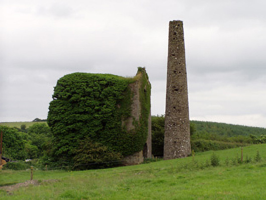 Mardyke Collieryengine house · 1099 yd
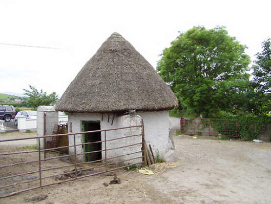 outbuildingoutbuilding · 1137 yd
 RathroeFairy fort / earthen ringfort · 1303 yd
 Site of CastleCastle, motte and bailey · 1611 yd
 Coolquill CastleCastle · 1.0 mi
 Slieveardagh Heritage CentreVisitor information · 1.0 mi
 Waterloo HillMountain / peak · 1.7 mi
 Eagle HillMountain / peak · 2.4 mi
 Derrynaflan TrailHeritage attraction · 3.2 mi
 Gobban Saer's GraveArchaeological place · 3.7 mi
 Noan WoodWood · 4.6 mi
Other information
Photo: Credit not shown in the picture search · Rights wording not checked; contact us if this picture should be removed