
What is recorded here
Situated on an E-facing slope. This feature is known locally as a 'Caldragh', which signifies a burial ground, or a 'Mound'. It is an oval grass-covered mound (dims 38.5m E-W; 28m N-S) with traces of bank around the base. A rabbit burrow on the mound produced charcoal, thirty-six pieces of slag and part of possible crucible (Monaghan County Museum file).
The above description is derived from the published 'Archaeological Inventory of County Monaghan' (Dublin: Stationery Office, 1986). In certain instances the entries have been revised and updated in the light of recent research.
Date of revision: 29 August 2017
A Neolithic burial mound, likely dating to the Early to Middle Bronze Age. Its local designation as a 'Caldragh' and its size suggest it may be a significant communal burial site, though its wider archaeological context remains poorly documented.
The monument record does not grant public access. Check the route and ask the landowner before entering private land.
- What survives
- Recorded monument
Places near here
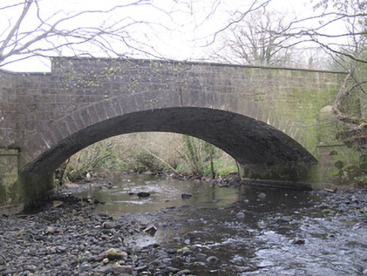 The Blue Bridgebridge · 436 yd
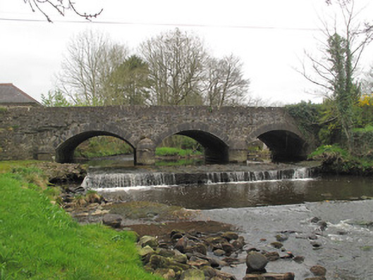 bridgebridge · 936 yd
 IndicatedFairy fort / earthen ringfort · 1511 yd
 Fulacht fia in CarrigansFulacht fia · 1587 yd
 Emyvale Heritage TrailVisitor information · 1.1 mi
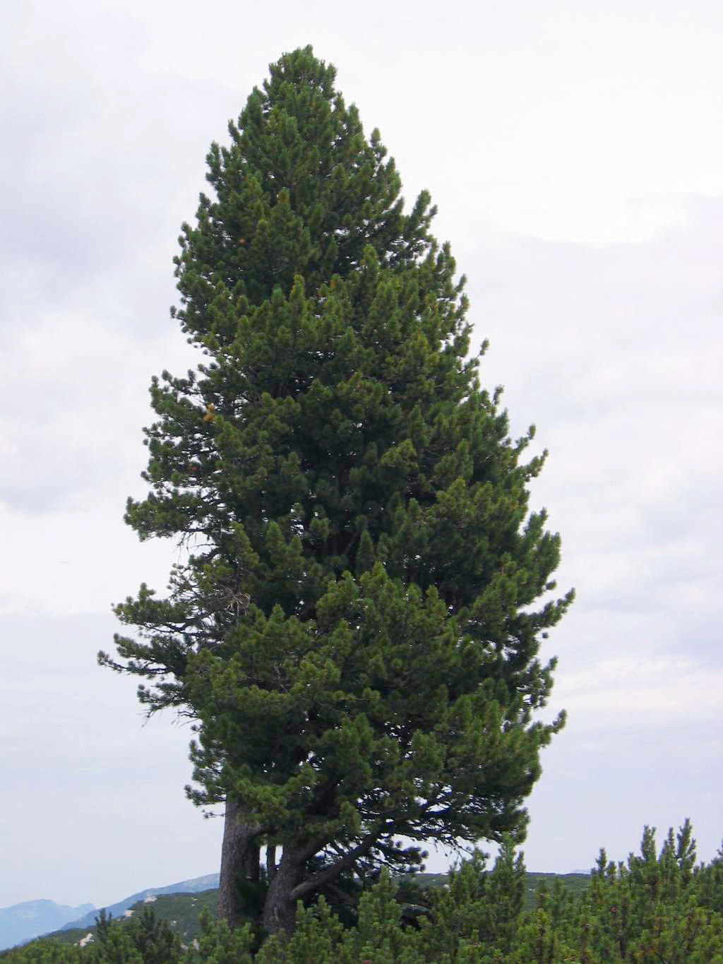 Swiss PineSwiss Pine · 3.6 mi
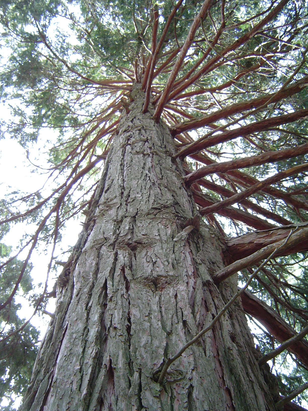 California Incense-cedarCalifornia Incense-cedar · 3.6 mi
 St. Muadain's WellSpring · 4.0 mi
 Harry LaveryMemorial · 4.1 mi
 Coolberrin HillMountain / peak · 4.3 mi
 Sliabh Beagh WayWalking route · 5.1 mi
 Monaghan County MuseumMuseum · 5.4 mi
Other information
Photo: Credit not shown in the picture search · Rights wording not checked; contact us if this picture should be removed